https://earthobservatory.nasa.gov/blogs/earthmatters/2017/03/29/egypts-greening-desert/


 The latest version of East Oweinat cultivation Map, which prepared from Landstat 7 ETM+ Images acquired on Jan 01, 2011. This updated version includes boundaries of land parcels and their owner's name, Roads and water wells. The map size fit A1 papers with dimensions of 594 mm width by 841 mm height.
 Sohag a forgotten Governorate in the heart of the Upper Egypt is now connected to the Red Sea via a new Highway crossing the Eastern plateau. The new highway start from Al-Kawthar (Latitude: 26° 37' 07" N, Longitude: 31° 47' 50" E) a new planned Urban and Industrial area located 12 km east of Sohag town. The road extends 248 km eastward to cross Qena - Safaga Road at (Latitude: 26° 41' 34" N, Longitude: 33° 35' 55" E), and continue eastward 40 km to reach Safaga at the Red Sea coast. The total road length from Sohag to Safaga is 288km.

The latest version of East Oweinat Image and Map, which prepared by Ragab A. Hafiez from Landstat 7 ETM+ Images acquired on April 04, 2010. This updated version includes boundaries of land parcels and their owner's name, Roads and water wells. The map size fit A0 papers with dimensions of 841 mm width by 1189 mm height.
Download latest East Oweinat Map
Download latest East Oweinat Satellite Image

East owinat is a fast growing cultivated area, each year more and more water wells added, the area of cultivated land is growing too. Following is the latest Owinat map reflecting the expansion of the crop area.
The following PDF format maps represent a processed Satellite Image acquired by Landsat-7 on 13 December 2009. the map highlights the cultivated land, the Roads and the locations of water wells. The Size of printable Maps is 100Cm width by 120Cm hight
Downloads:
East Owinat Satellite Image map
East Owinat vector map
 Islamic Cairo is one of the oldest Islamic city. It was founded by the Arab military commander Amr Ibn al-As following the conquest of Egypt in 641 AD. The medieval city is surrounded from north and South by a big Walls, where the mountains protect the city from the east side and the Nile from the west side. Many Monumental buildings, palaces, famous mosques and madrasas (religious schools), numerous markets still stand witness to a glorious past.
Downloads
Islamic Cairo for Google Earth
Islamic Cairo for GIS (Shape file)
Islamic Cairo for GPS (GPX file includes an abbreviated names)

East Oweinat is a pioneer agricultural project at South West of Egypt, 350KM south of Dakhla Oasis. The project depends mainly on the groundwater resources of the Nubian sandstone aquifer. The groundwater in the area is fresh and drinkable, The water wells depth ranged from 200 – 350m deep. The water table is close to the ground surface from 15 – 50 m deep, this cut the cost of water pumping.
The following PDF format map represent a processed Satellite Image acquired by Landsat-7 on May 2009. the map highlight the Cultivation area, the Roads and the locations of new wells. The Size of printable Map is 100Cm width by 120Cm Hight to fit A0 paper sheet.
Download East Oweinat satellite-Image Map 2009 for Free


A big collection of the Ancient Egyptian archaeological sites including Geographic Lat/Long Location and Internet Hyperlinks for further reading. You can download and print XLS format table or Download the Google Earth Format and enjoy with virtual trip to Egypt or Use the Shape file with GIS software. If you have a GPS set you can download the GPX file and upload to your set and navigate easily to the most attractive Egyptian places.
Download the GPX file and upload to your GPS Set
 Egypt administratively divided into 26 governorates, later another 2 more governorates has been nominated (Hellwan and 6th of October) which deducted from the old Cairo and Giza governorates. this post includes the Administrative boundaries of the 26 governorates with their Area (sq Km) and the 2006 population census.
Read More
Download Shapefile (WGS84)

Free Coordinates calculator support Old Egyptian Datum by TATUKGIS
Download a Coordinate calculator for free
You need to sign Up to get a Free Link

Old Egyptian Datum Transformation Parameters
| Belt Parameters | Purple Belt | Extended Purple Belt | Red Belt | Blue Belt |
| Covering Area | West of 29 deg E; North of 28 deg 11 min N Bounds: 24.71 28.18 29.0 33.58 | West of 29 deg E; South of 28 deg 11 min N Bounds: 25.0,21.99 29.0,28.18 | East of 29 deg E Bounds: 29.0,21.99 36.9,33.75 | Bounds: 32.5,27.7 36.9,31.31 |
| | 27 | 27 | 31 | 35 |
| Central Parallel (DEG) N | 30 | 30 | 30 | 30 |
| False Easting (m) | 700000 | 700000 | 615000 | 300000 |
| False Northing (m) | 200000 | 1200000 | 810000 | 1100000 |
| Scale factor | 1 | 1 | 1 | 1 |
Datum Old Egyptian 1907
Ellipsoid Helmert 1906
Projection Transverse Mercator

The Suez Canal is a large man-made canal in Egypt, west of the Sinai Peninsula. It is 163 km (101 miles) long and 300 m (984 ft) wide at its narrowest point, and runs between Port Said on the Mediterranean Sea, and Suez on the Red Sea.
Read More
Suez Canal: Wikipedia
Suez Canal: MSN Encarta
Download Spatial Files
DXF Format
KMZ Google Earth Format
Projection of the files:
Projection: Lat/Long
Ellipsoid: WGS84
Datum: WGS84

====================================================================
Data File Name : srtm_42_08.zip
Latitude min: 20 N max: 25 N
Longitude min: 25 E max: 30 E
Center point : Latitude 22.50 N Longitude 27.50 E
http://droppr.org/srtm/v4.1/6_5x5_TIFs/srtm_42_08.zip
=====================================================
Data File Name : srtm_43_08.zip
Latitude min: 20 N max: 25 N
Longitude min: 30 E max: 35 E
Center point : Latitude 22.50 N Longitude 32.50 E
http://droppr.org/srtm/v4.1/6_5x5_TIFs/srtm_43_08.zip
=======================================================
Data File Name : srtm_44_08.zip
Mask File Name: srtm_mk_44_08.zip
Latitude min: 20 N max: 25 N
Longitude min: 35 E max: 40 E
Center point : Latitude 22.50 N Longitude 37.50 E
http://droppr.org/srtm/v4.1/6_5x5_TIFs/srtm_44_08.zip
===============================================================
Data File Name : srtm_42_07.zip
Latitude min: 25 N max: 30 N
Longitude min: 25 E max: 30 E
Center point : Latitude 27.50 N Longitude 27.50 E
http://droppr.org/srtm/v4.1/6_5x5_TIFs/srtm_42_07.zip
============================================================
Data File Name : srtm_43_07.zip
Latitude min: 25 N max: 30 N
Longitude min: 30 E max: 35 E
Center point : Latitude 27.50 N Longitude 32.50 E
http://droppr.org/srtm/v4.1/6_5x5_TIFs/srtm_43_07.zip
===============================================================
Data File Name : srtm_43_06.zip
Latitude min: 30 N max: 35 N
Longitude min: 30 E max: 35 E
Center point : Latitude 32.50 N Longitude 32.50 E

The attached report explain how to use digital Elevation model (DEM) to estimate the required volume of water to fill the Qattara Depression (Western Desert, Egypt)
http://ragabr.googlepages.com/Qattara_Deression_Report.pdf
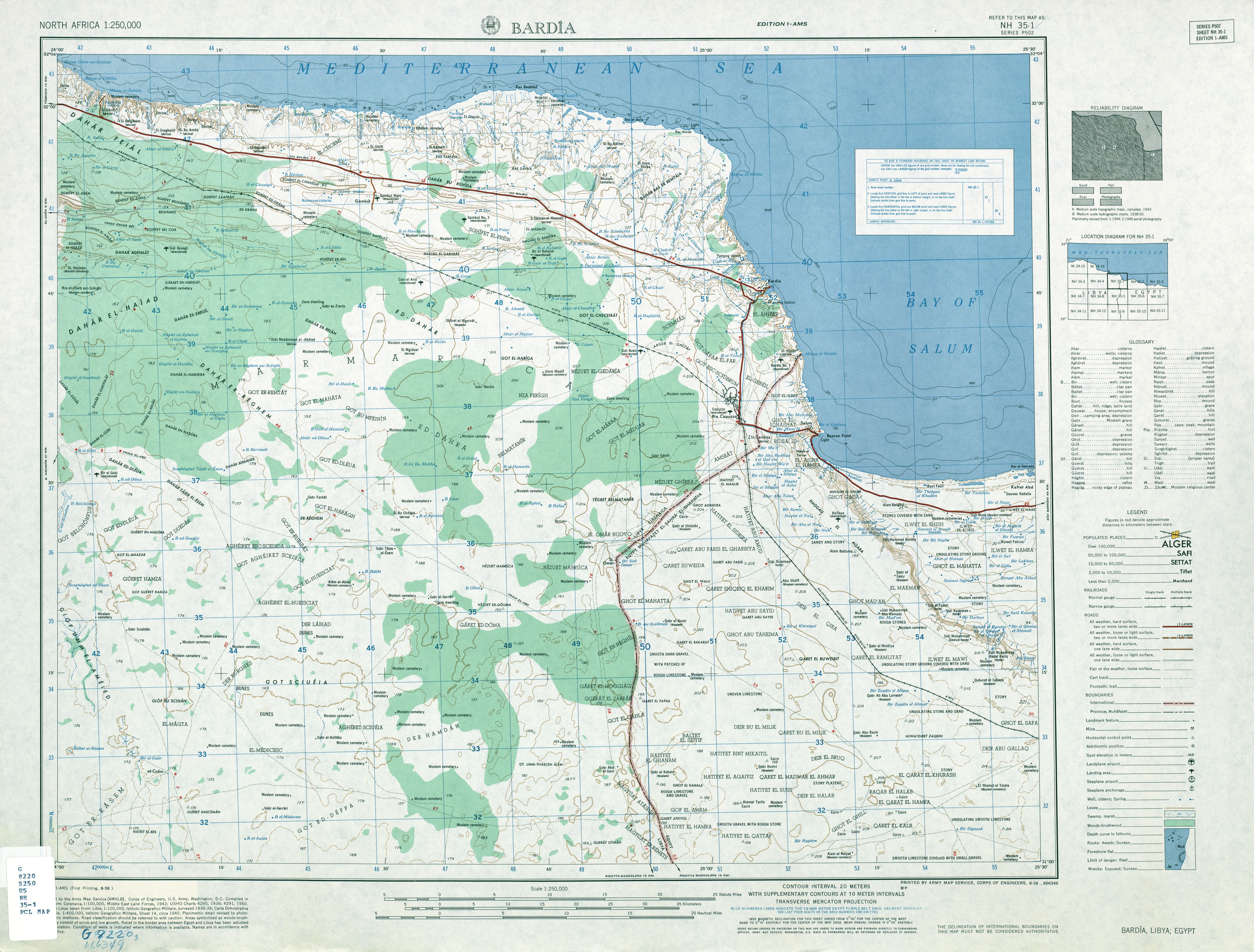
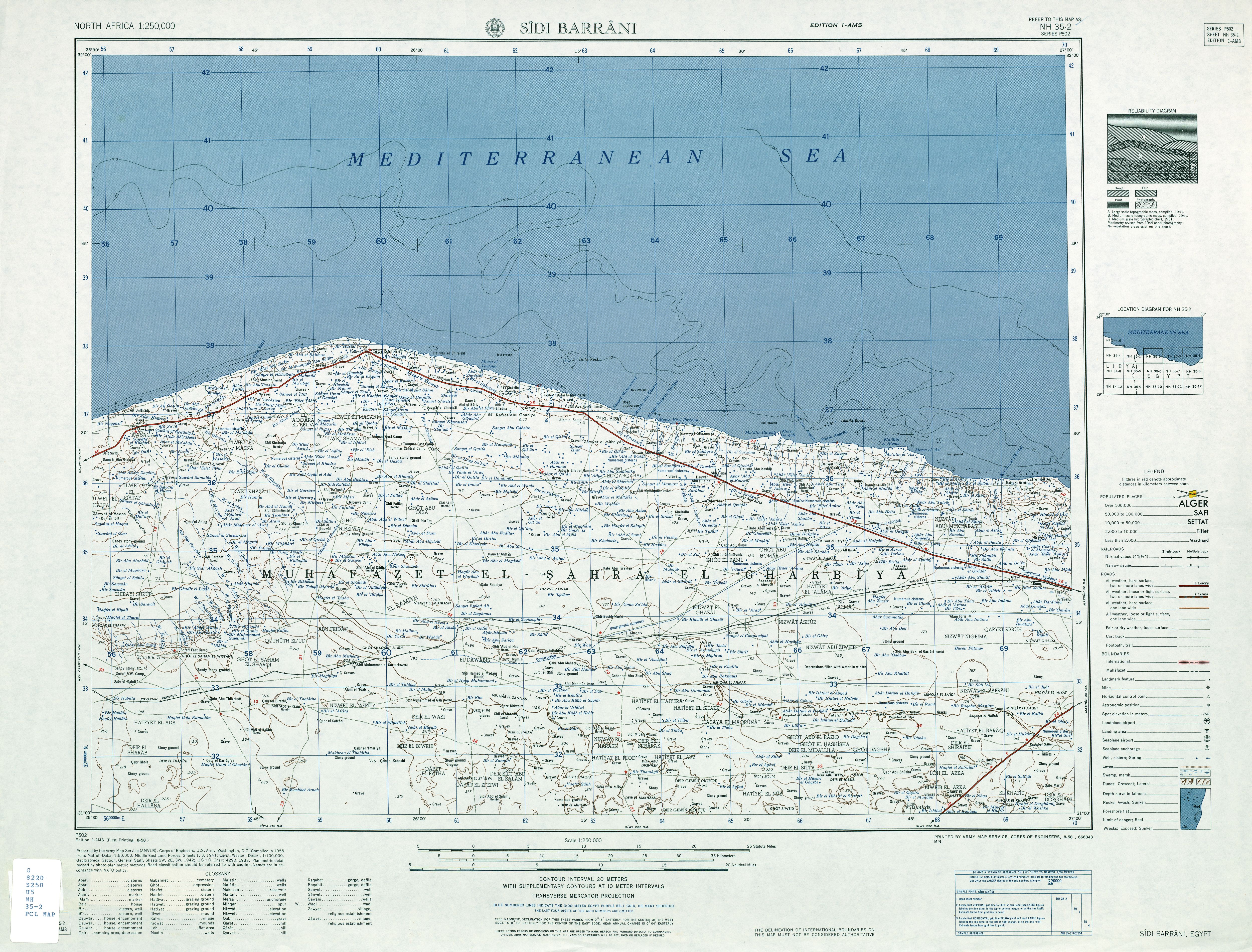
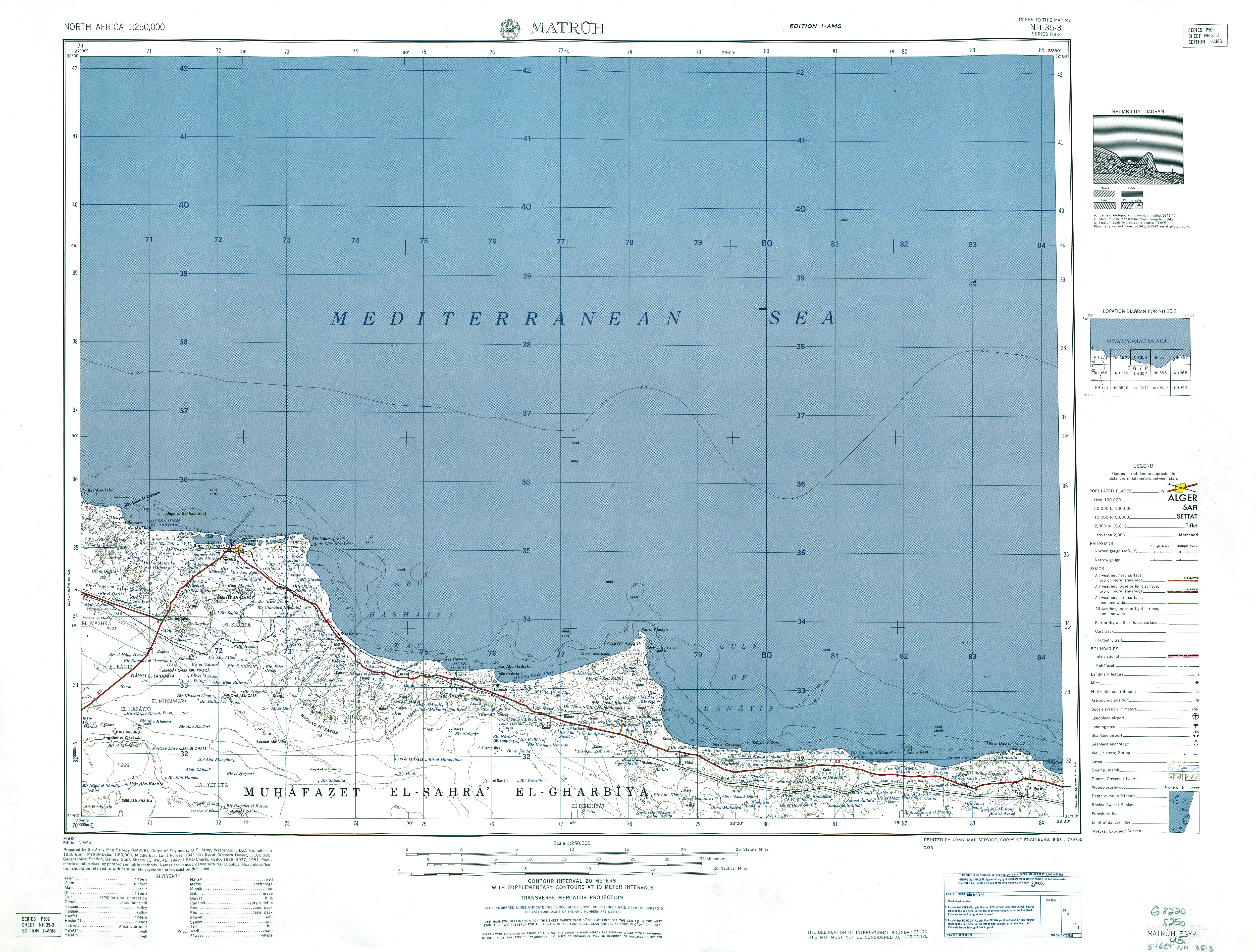
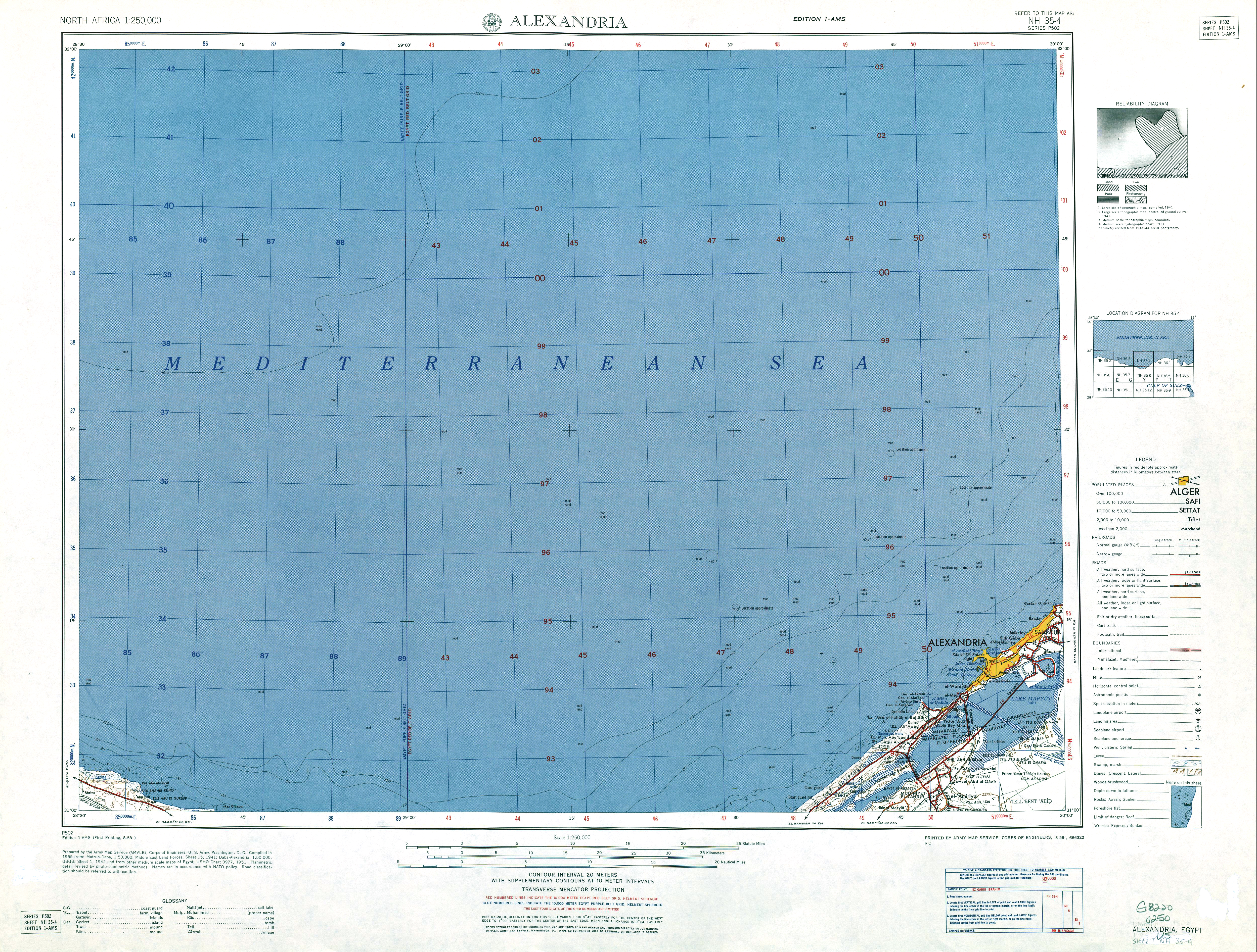
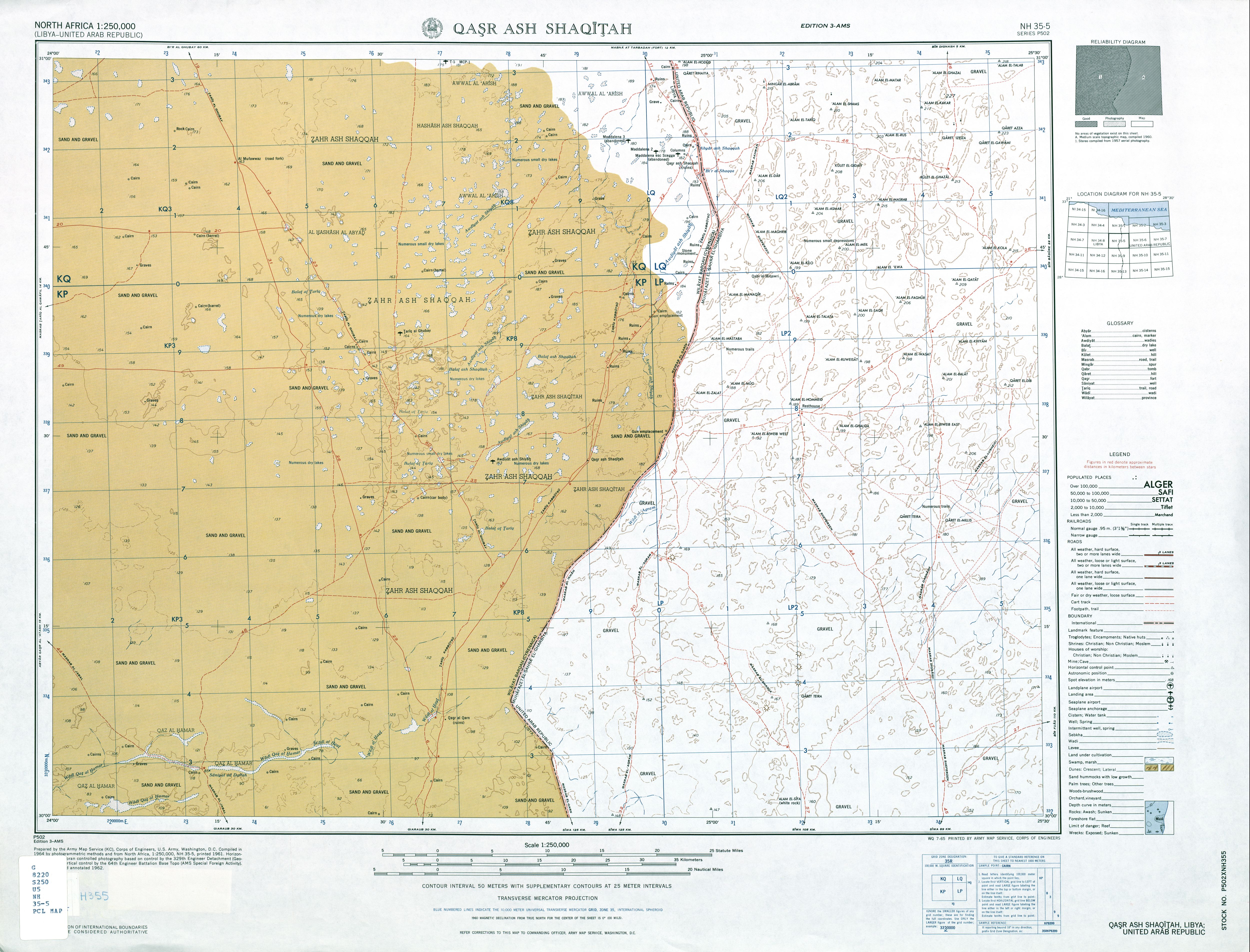
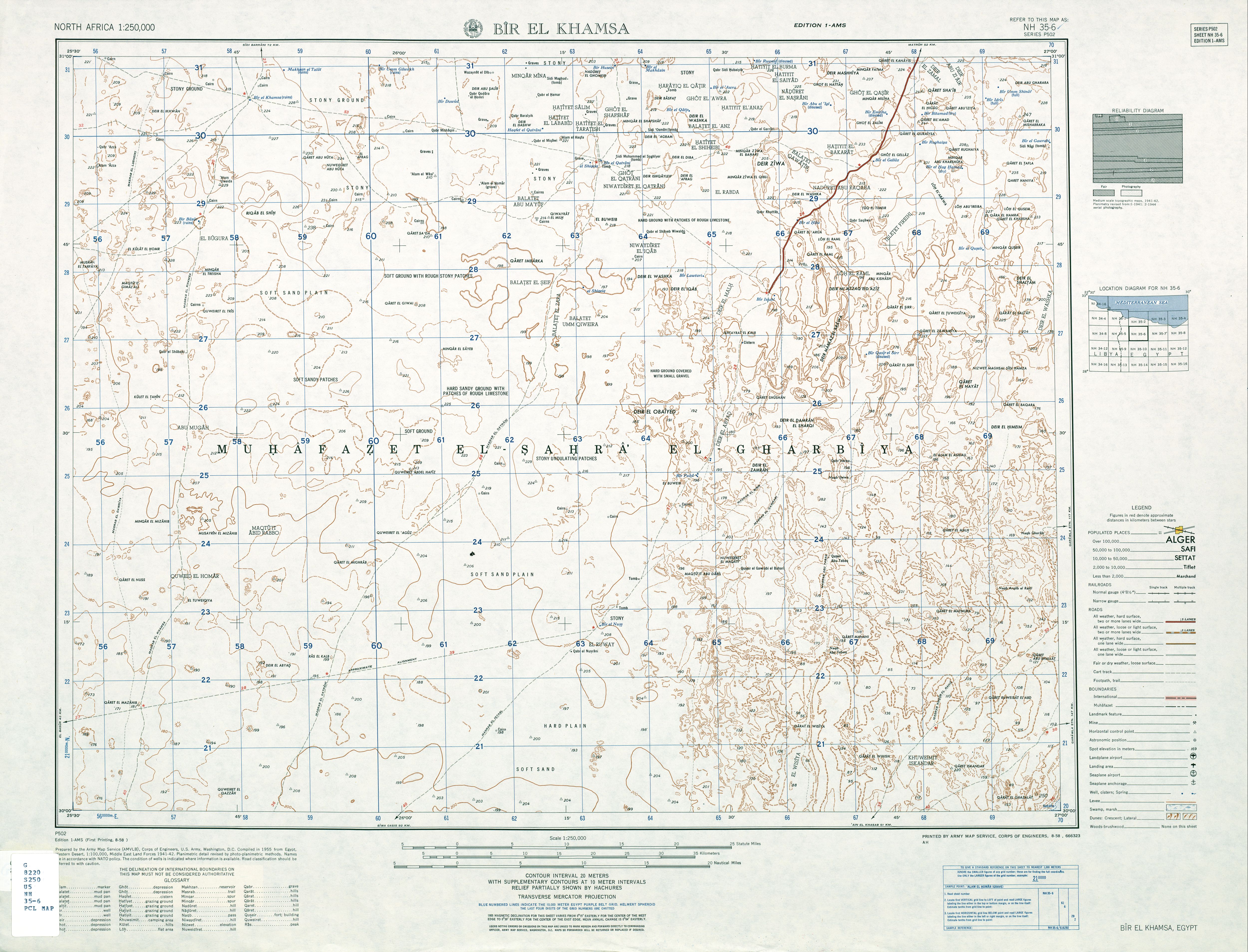
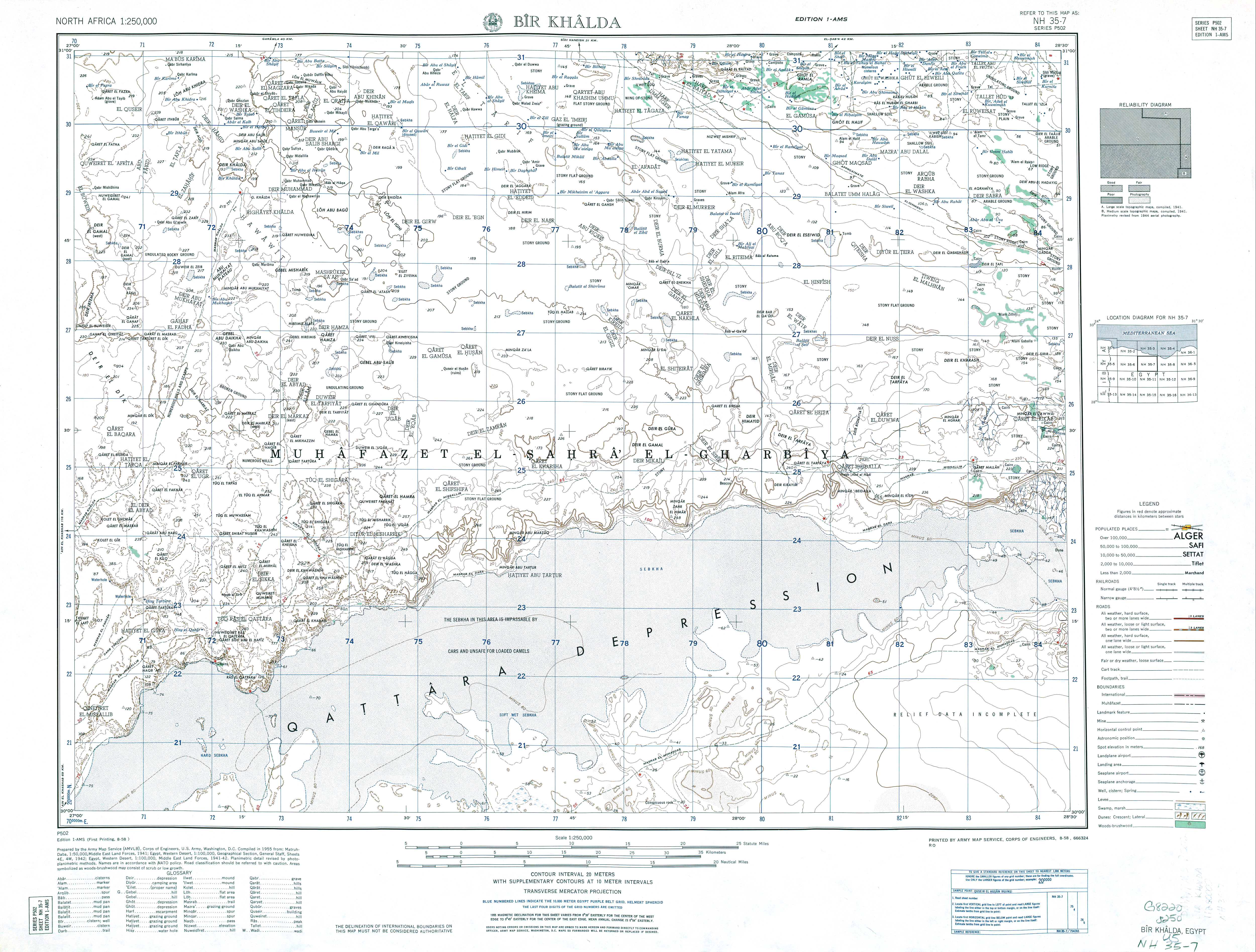
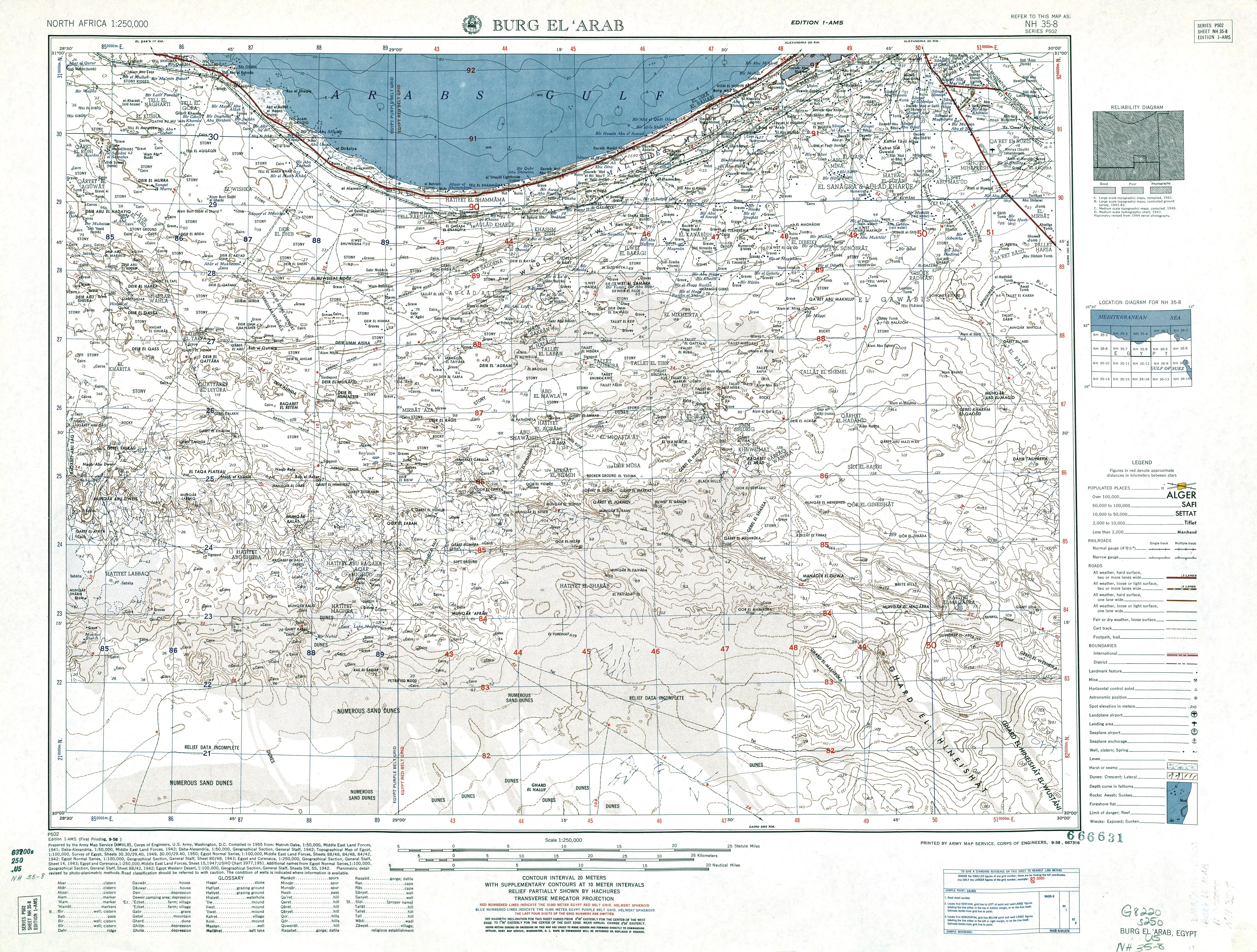
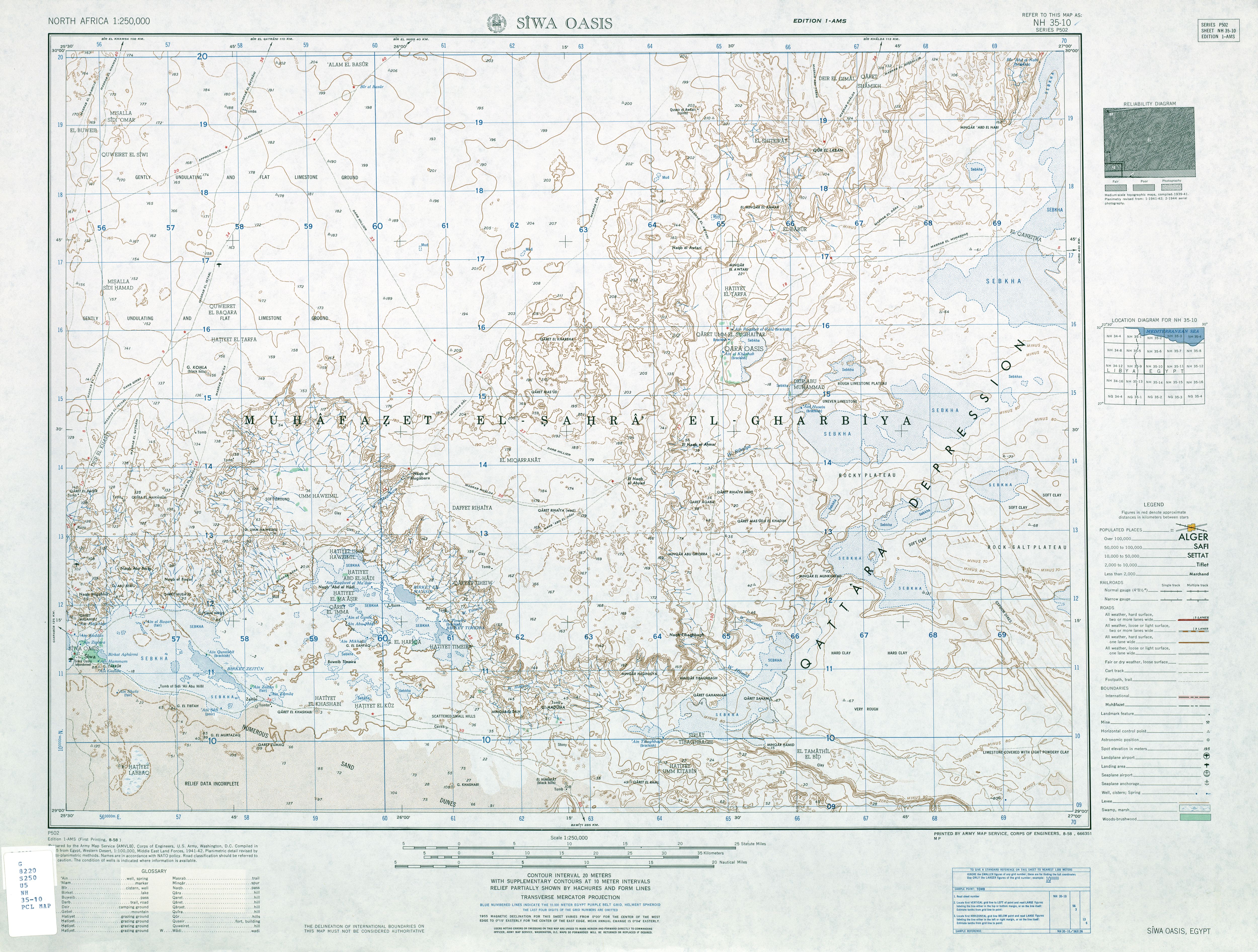
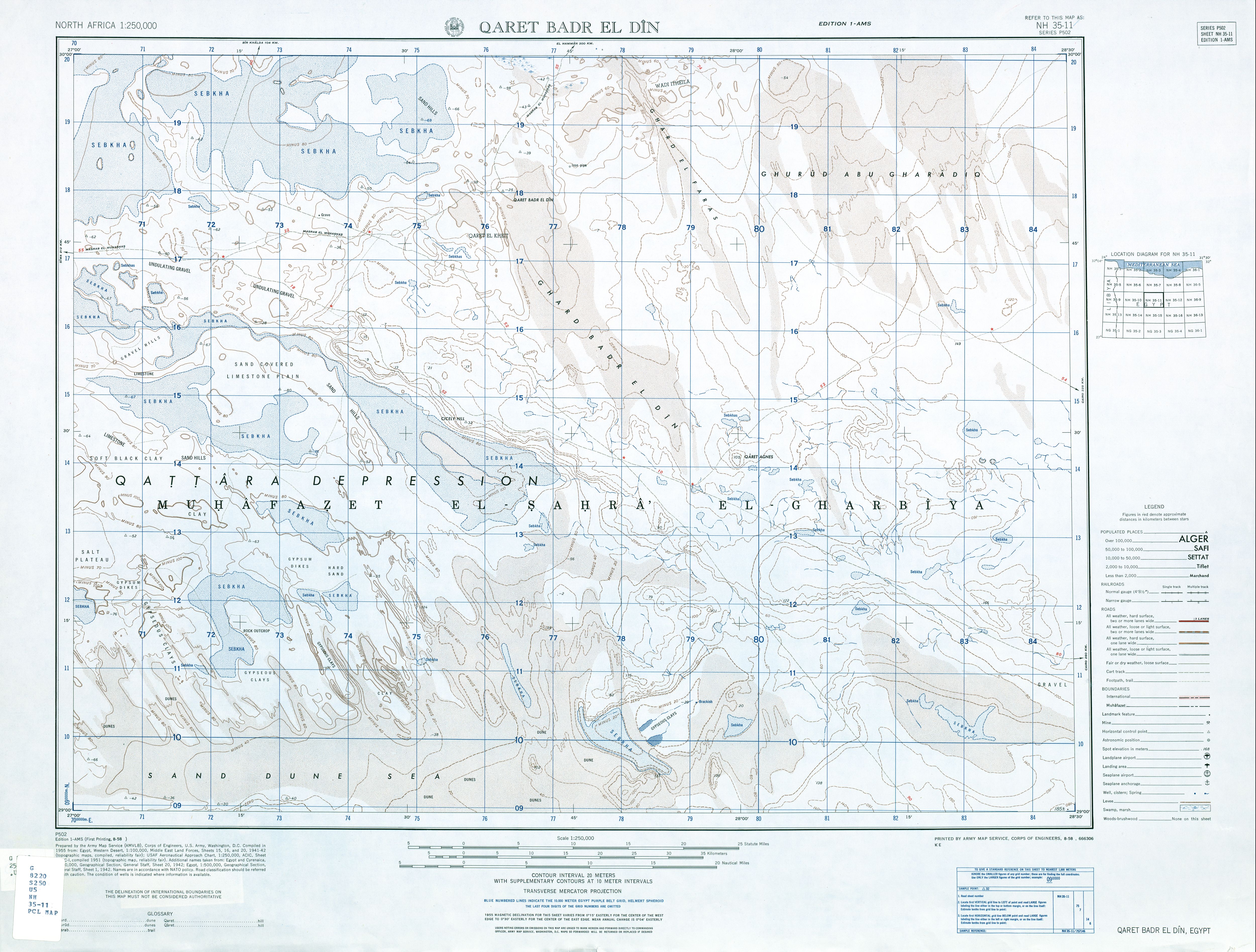
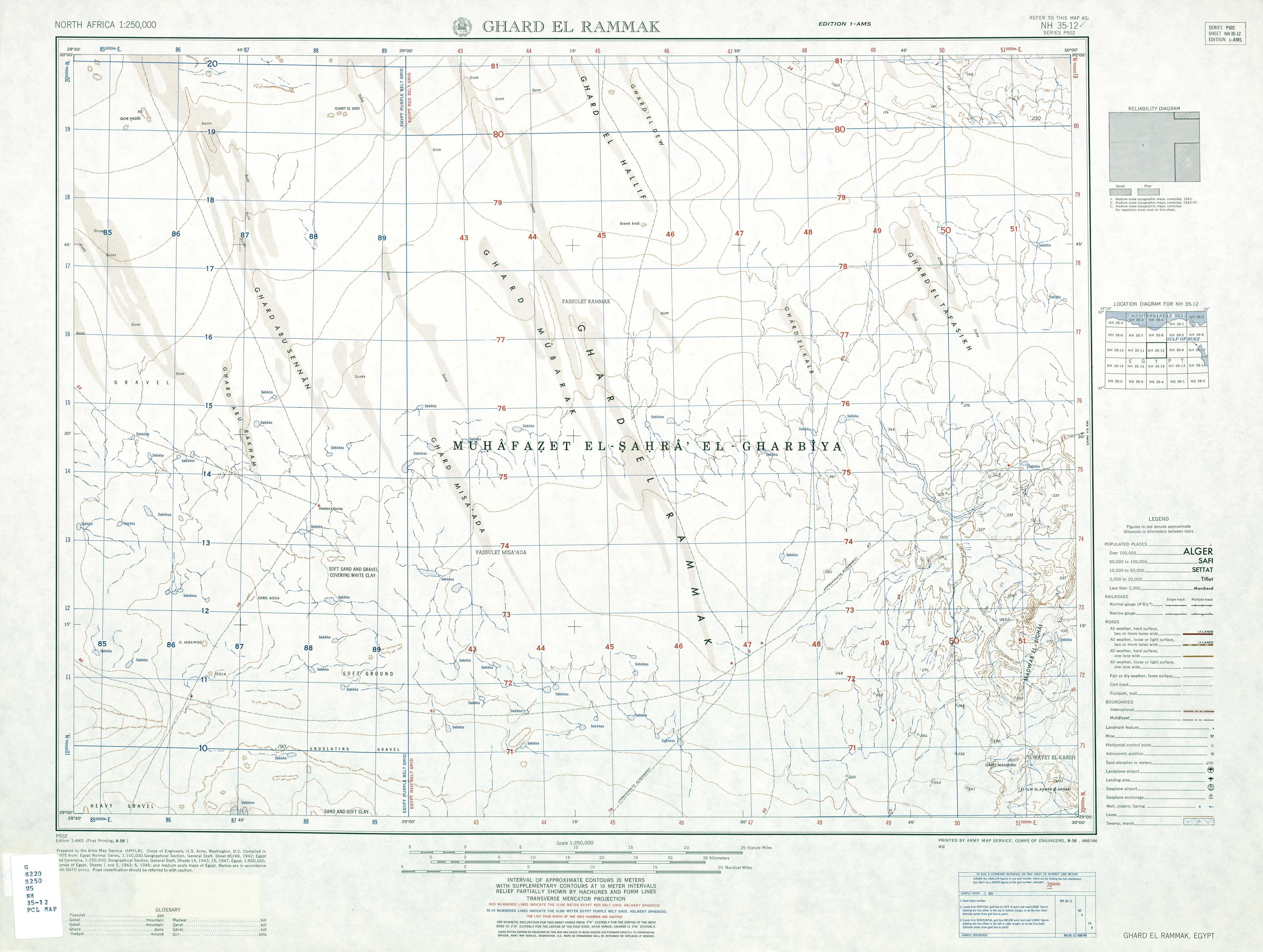
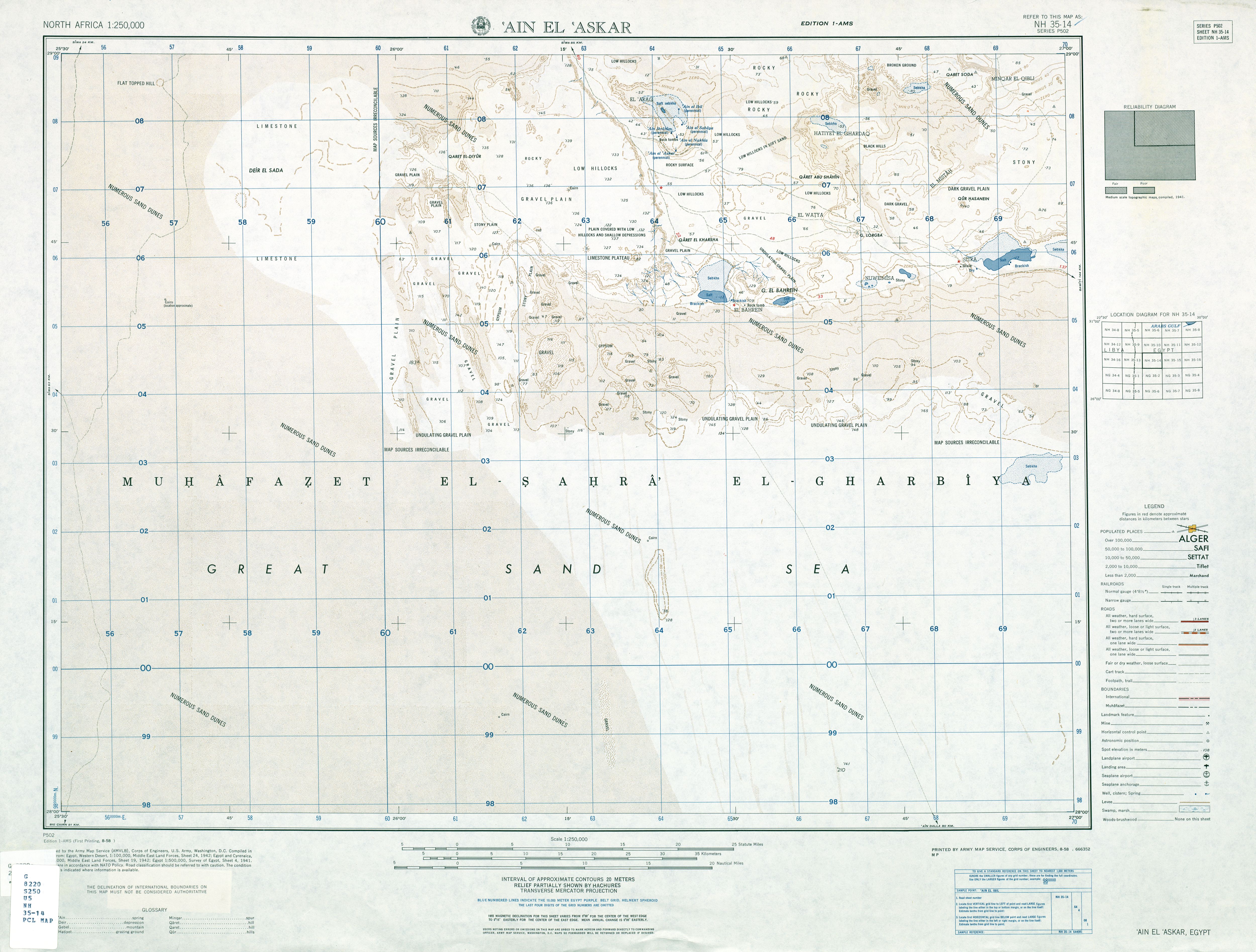
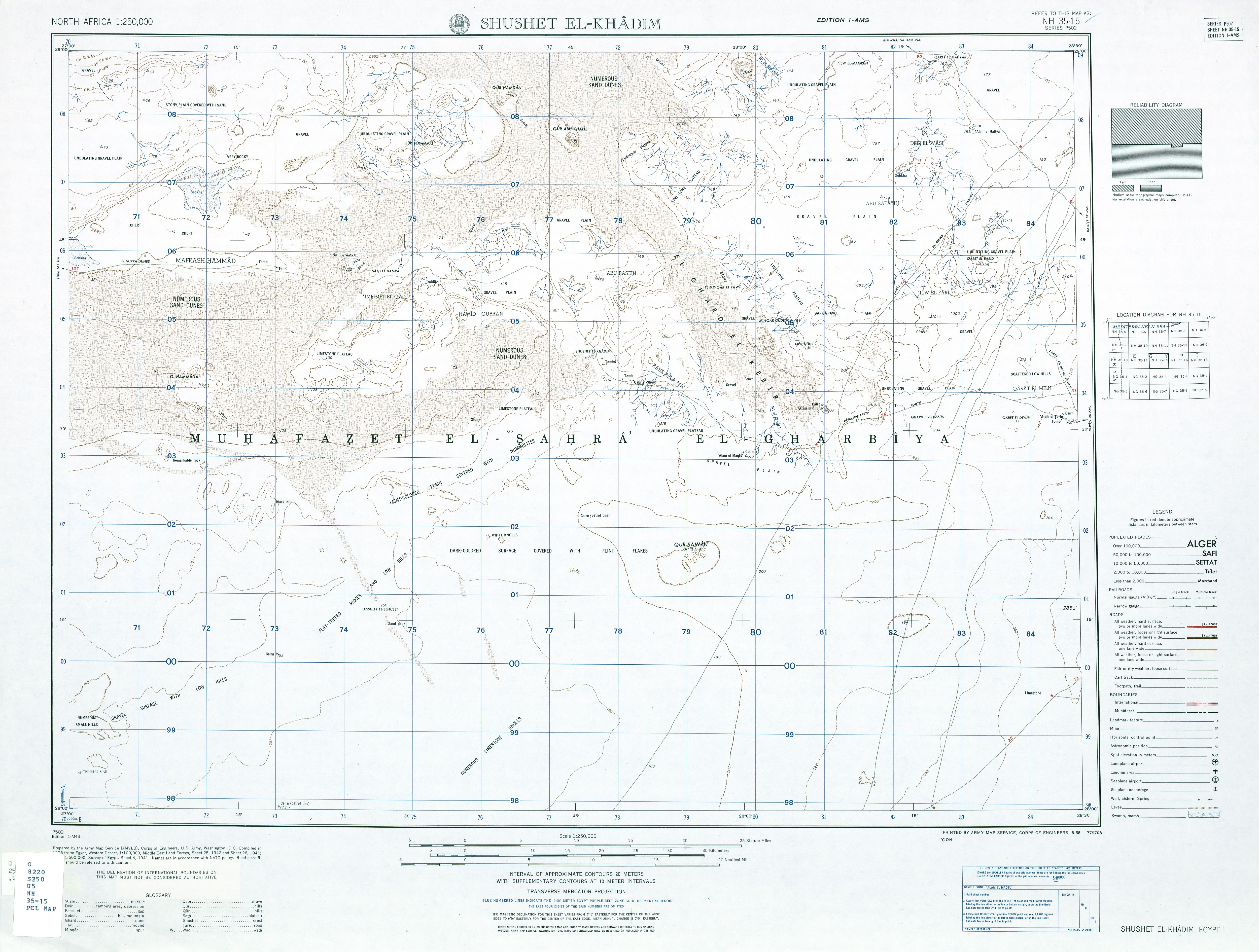
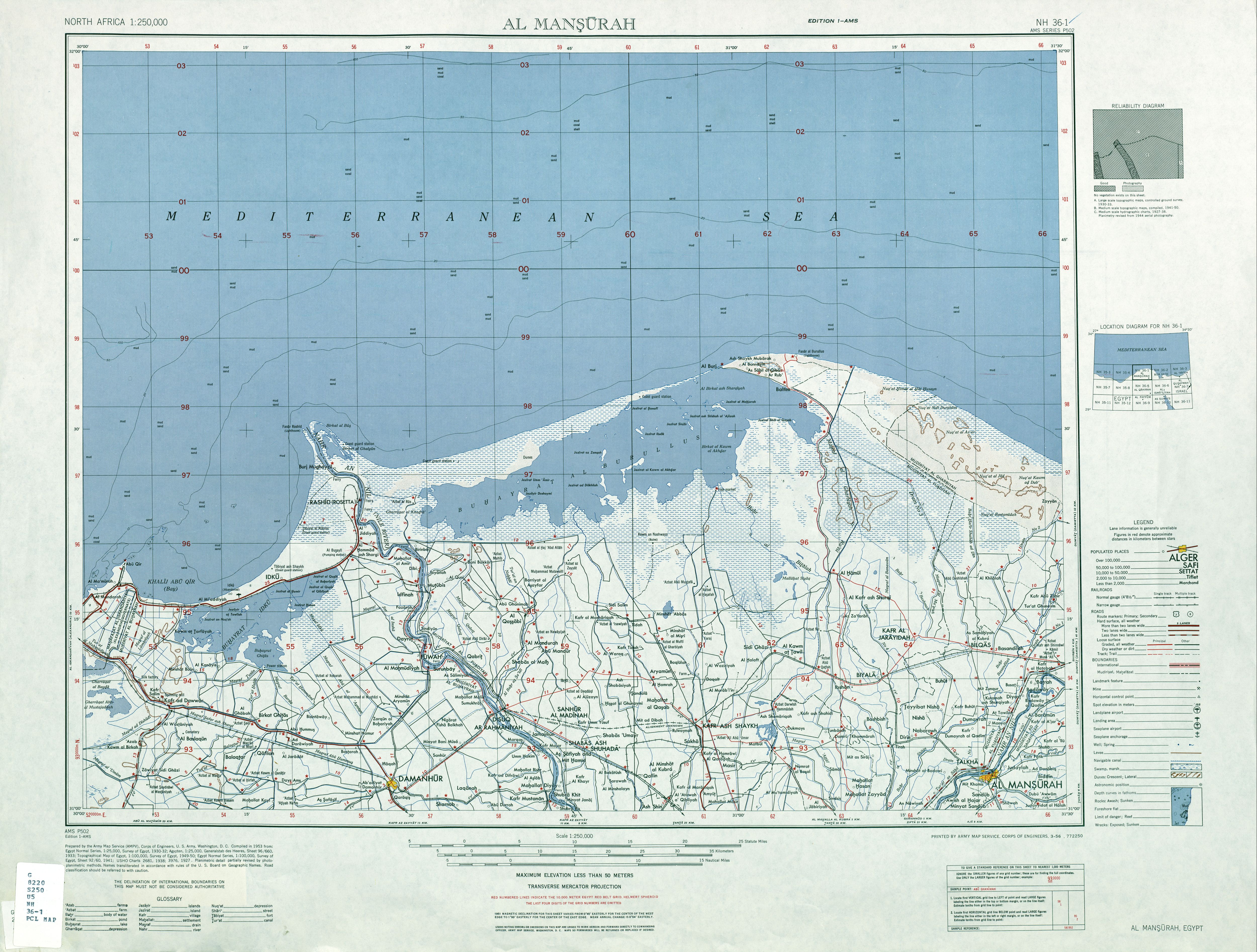
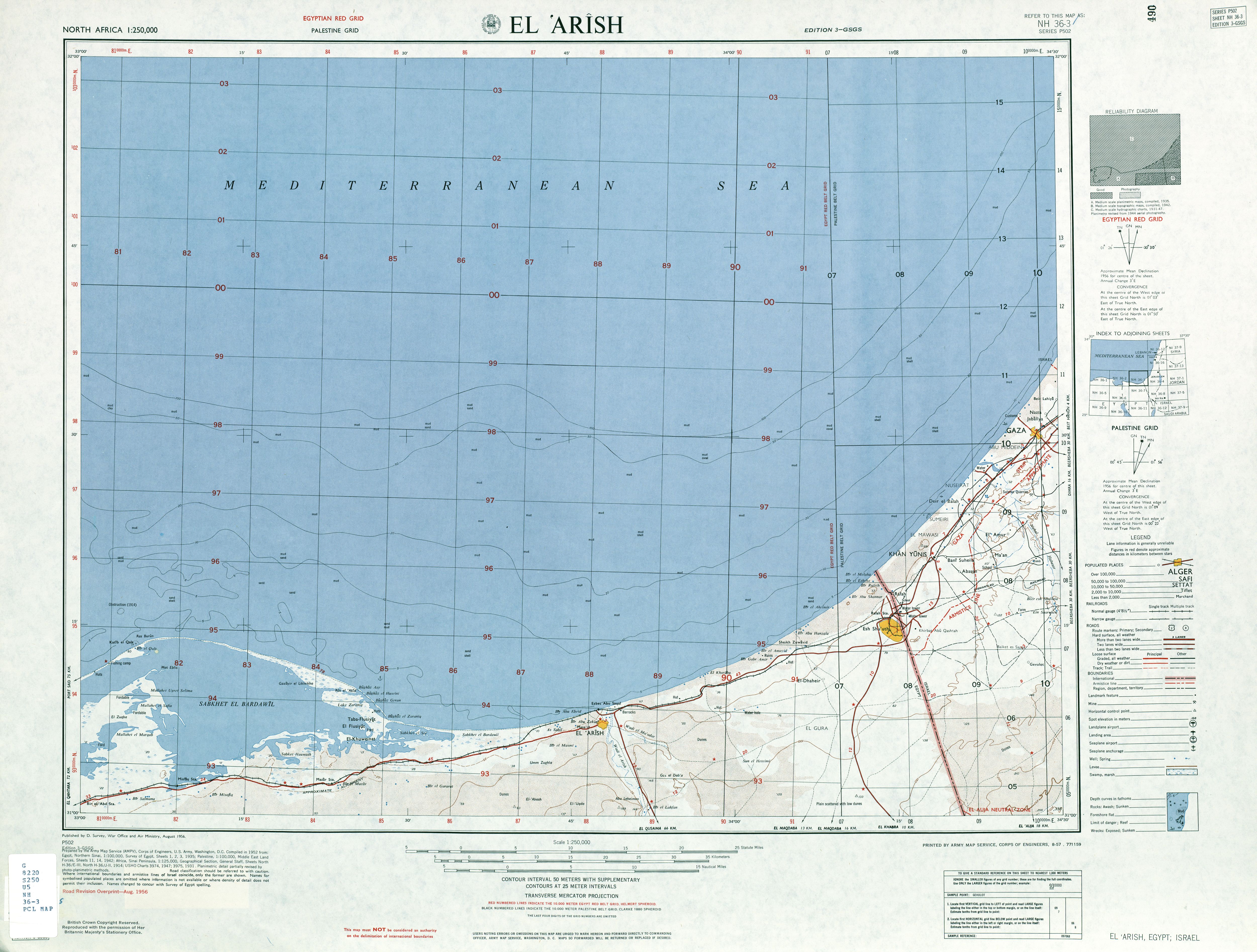
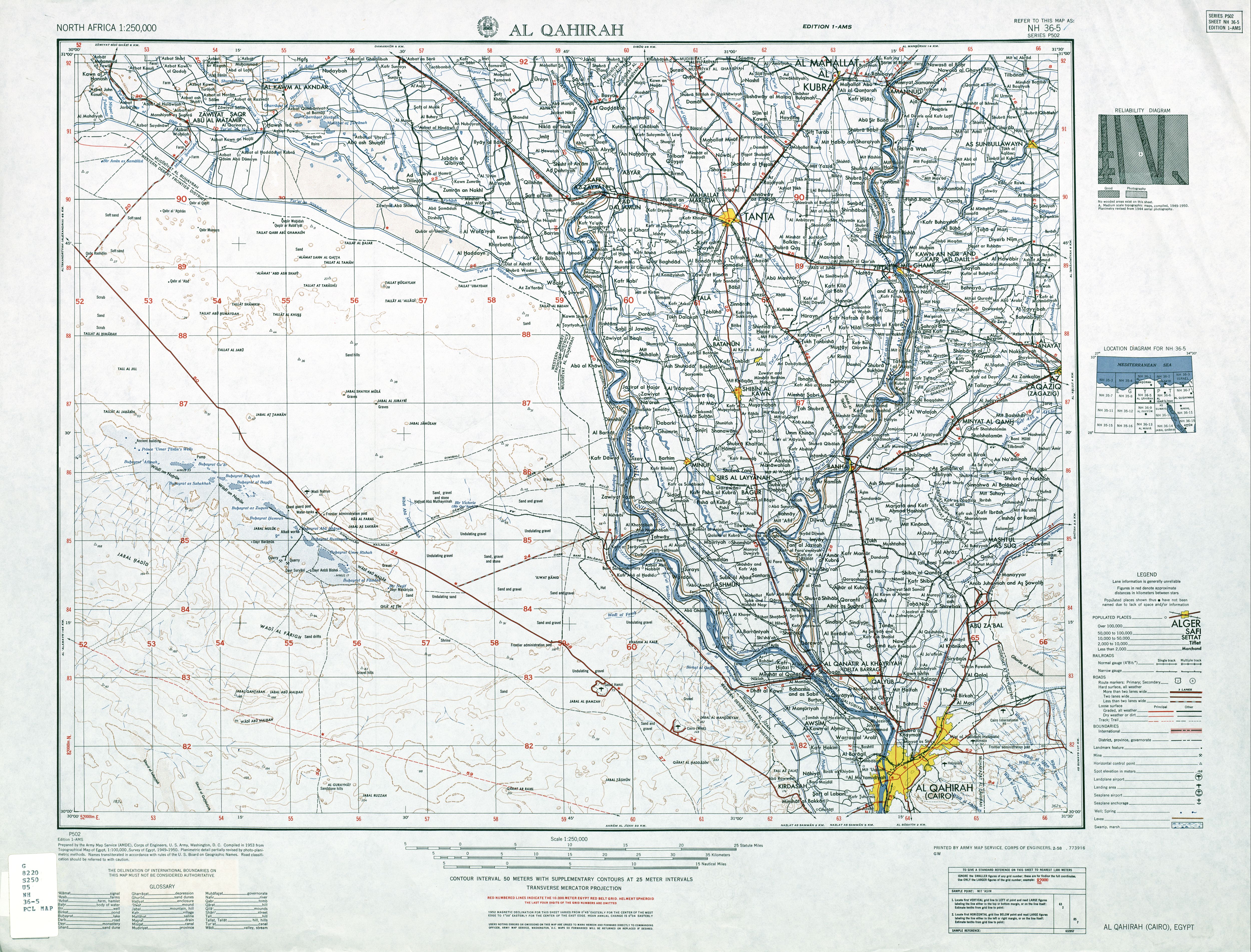
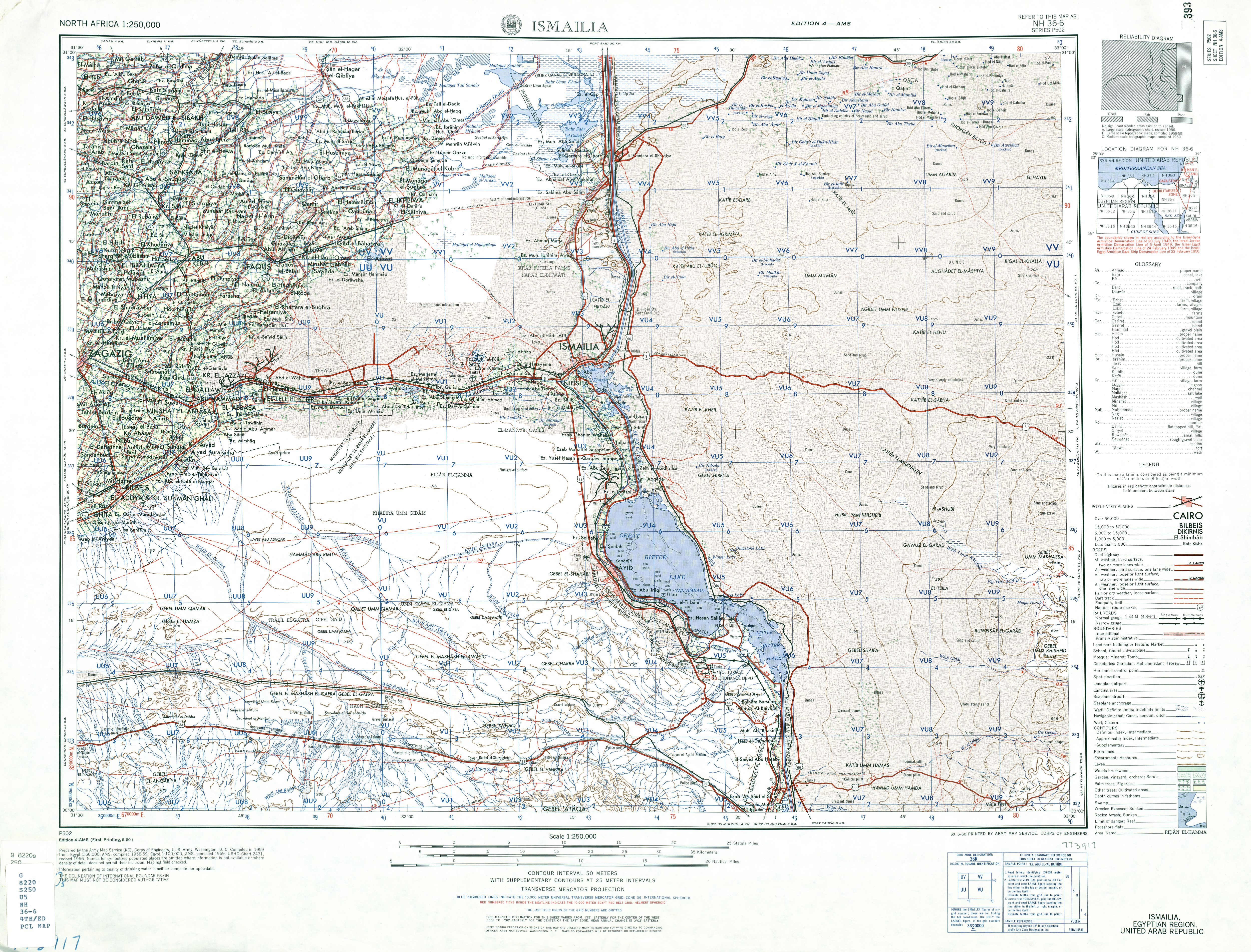
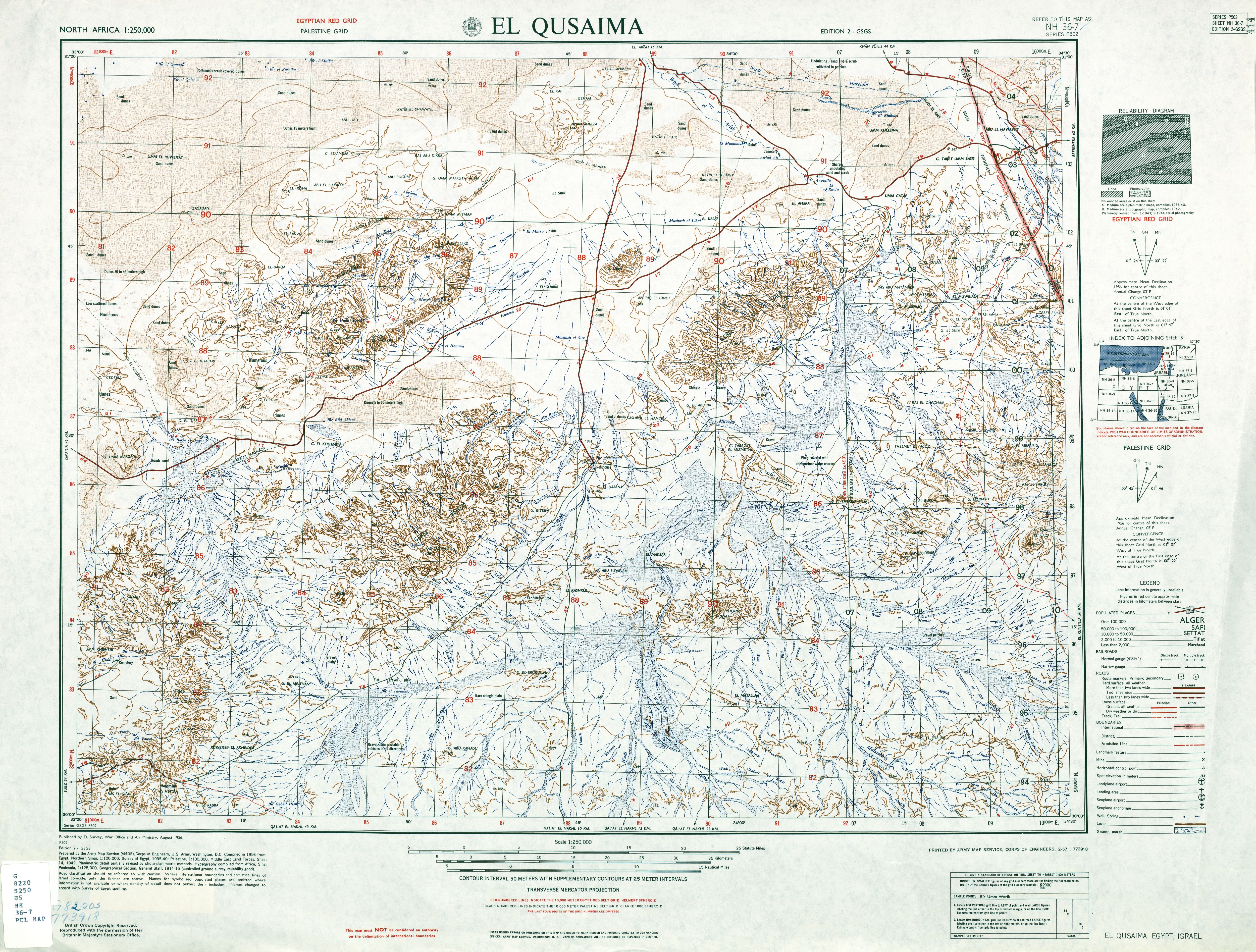
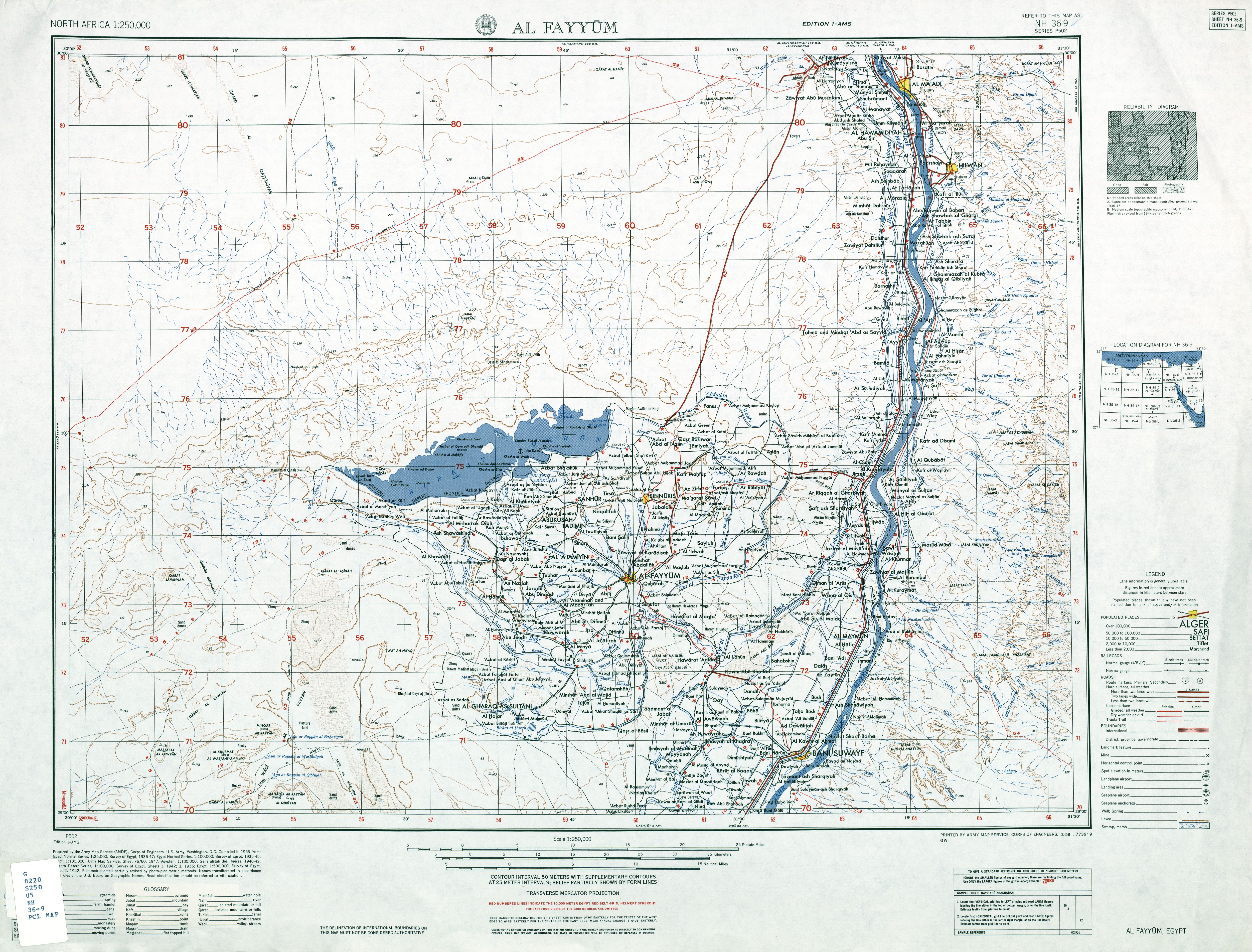
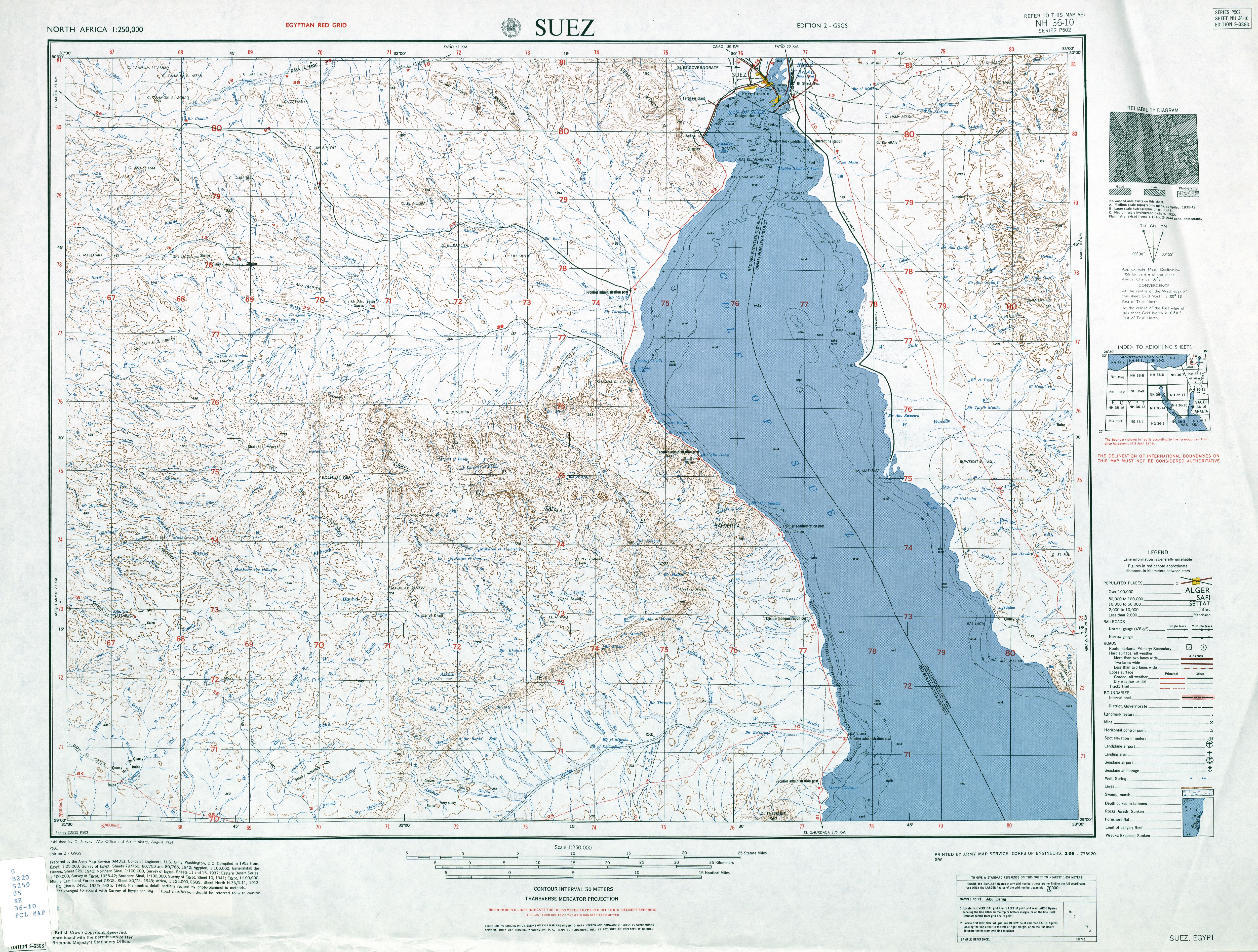
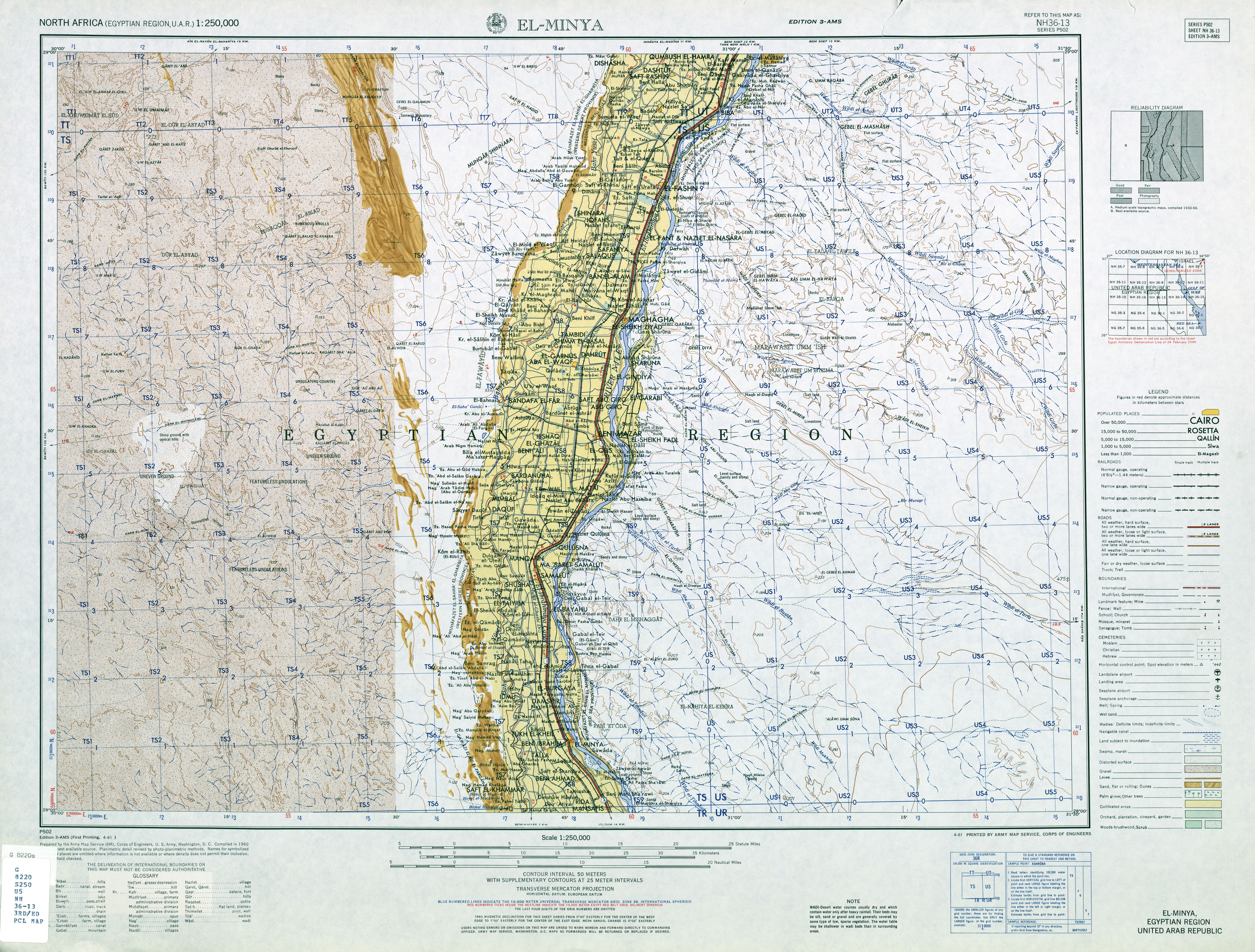
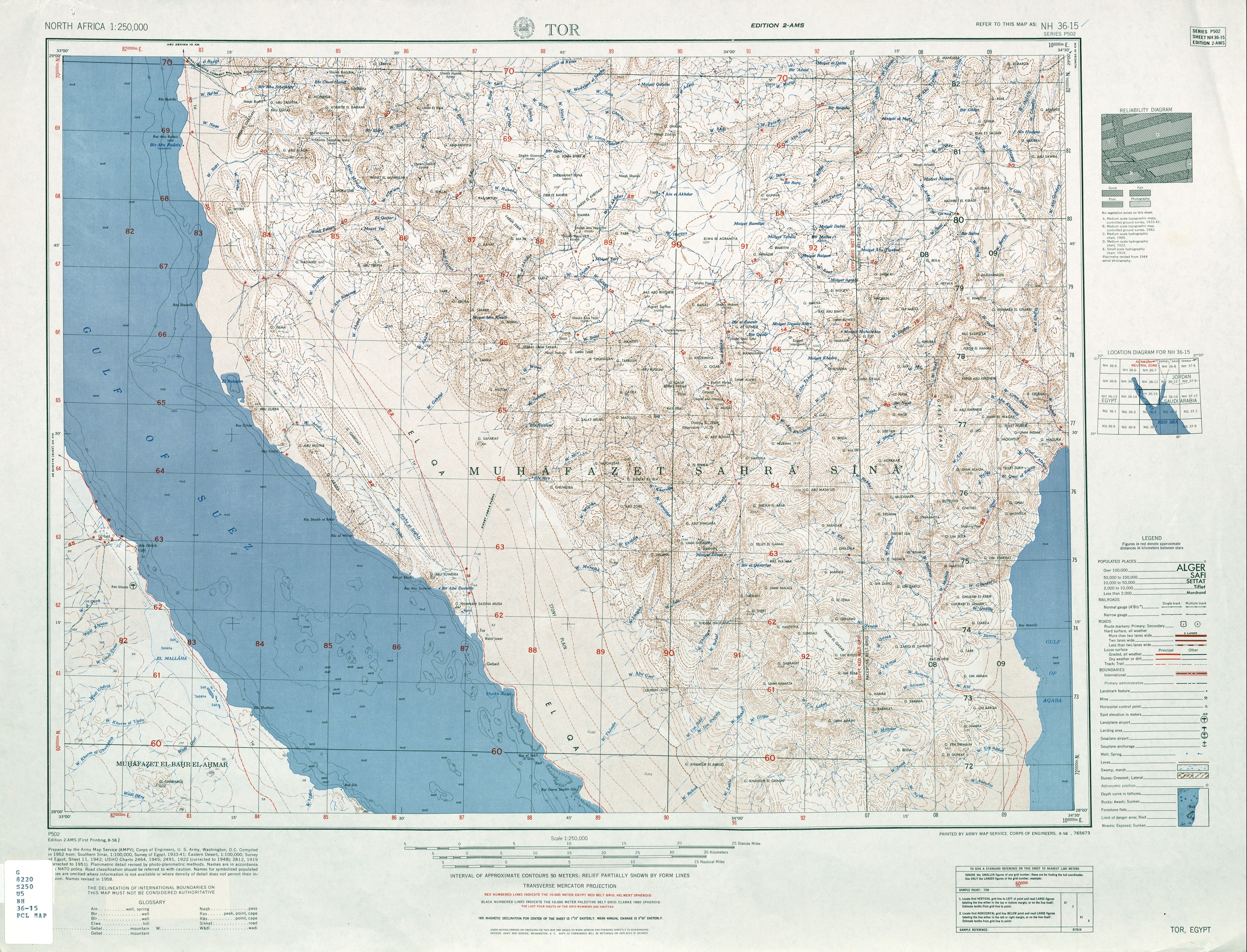
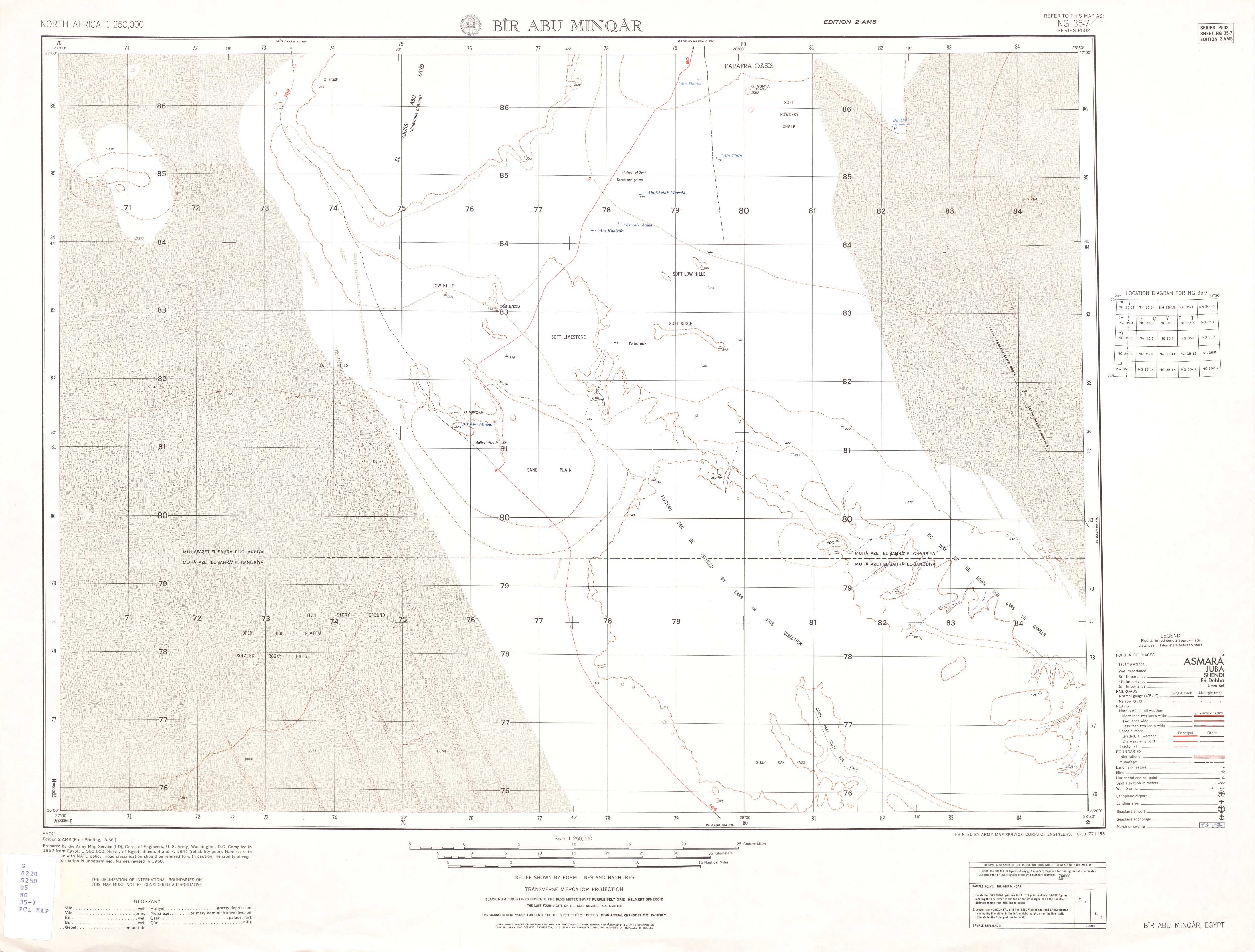
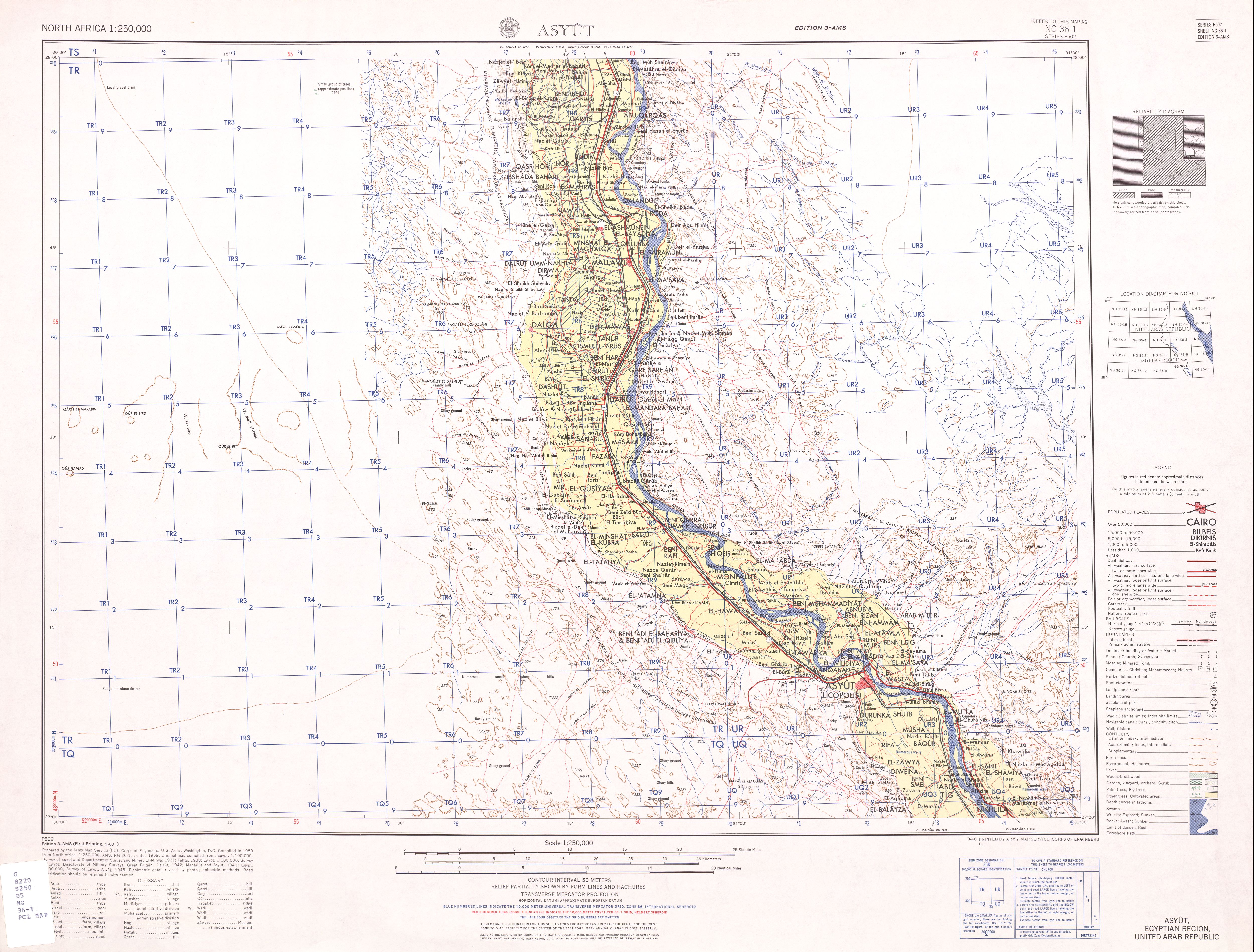
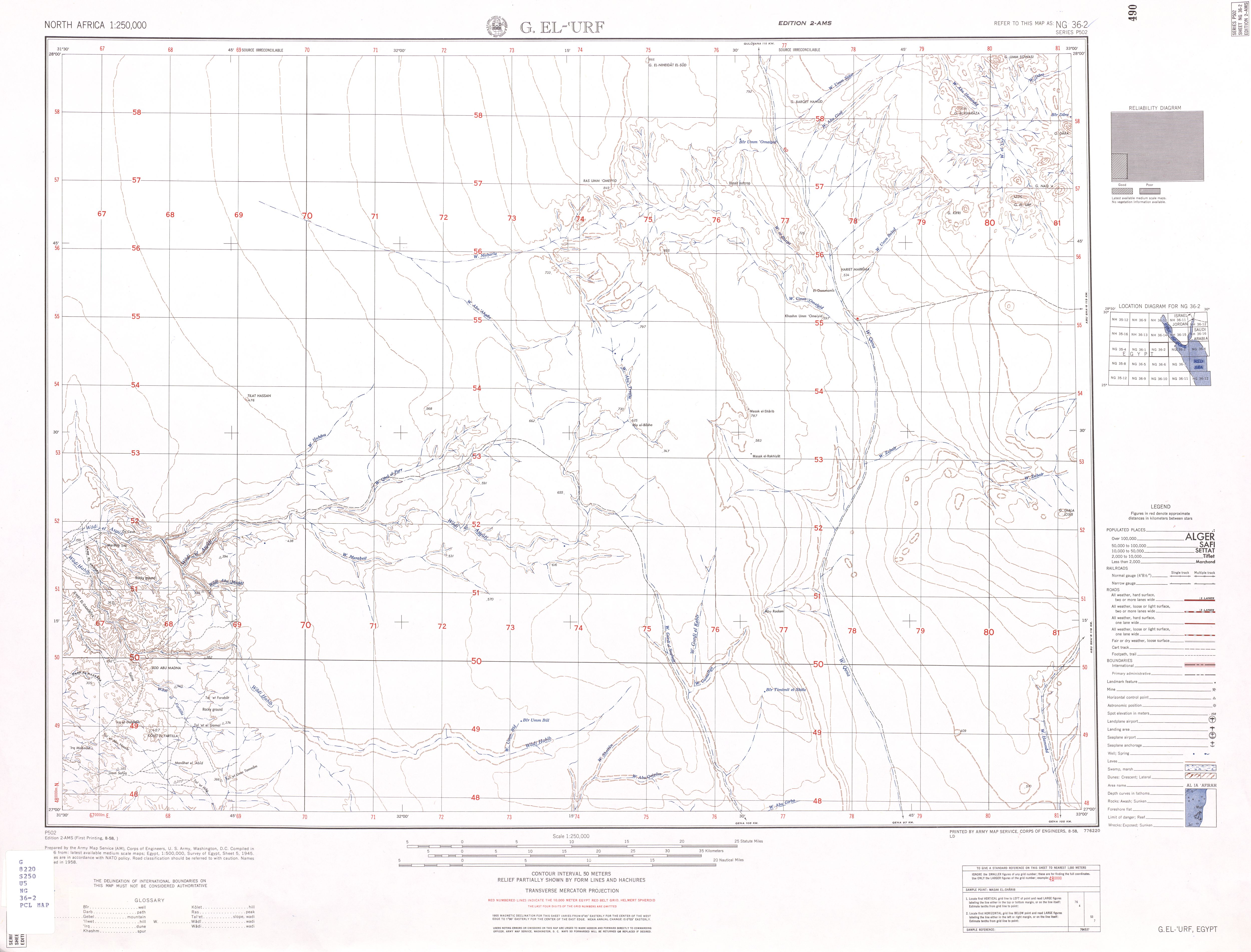
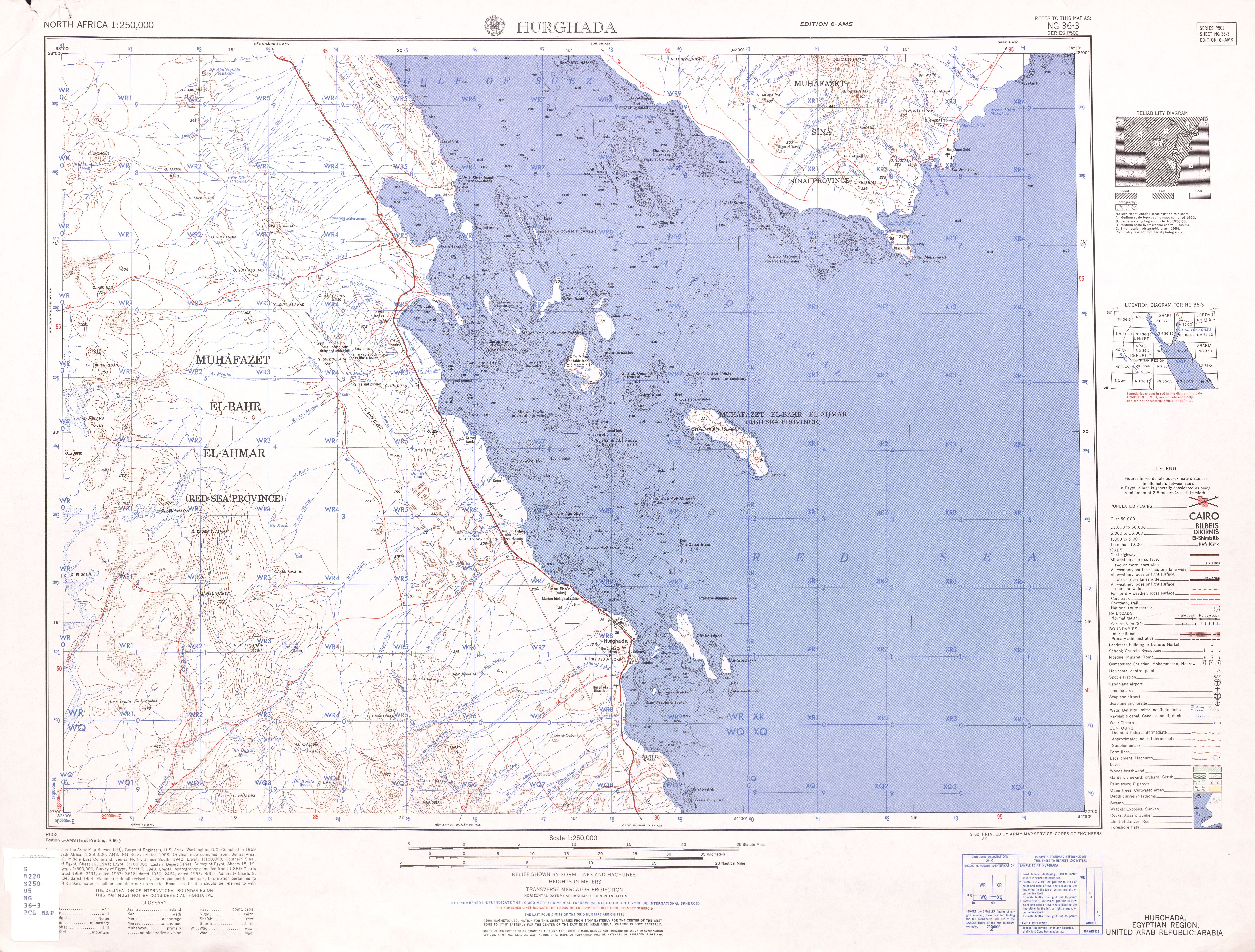
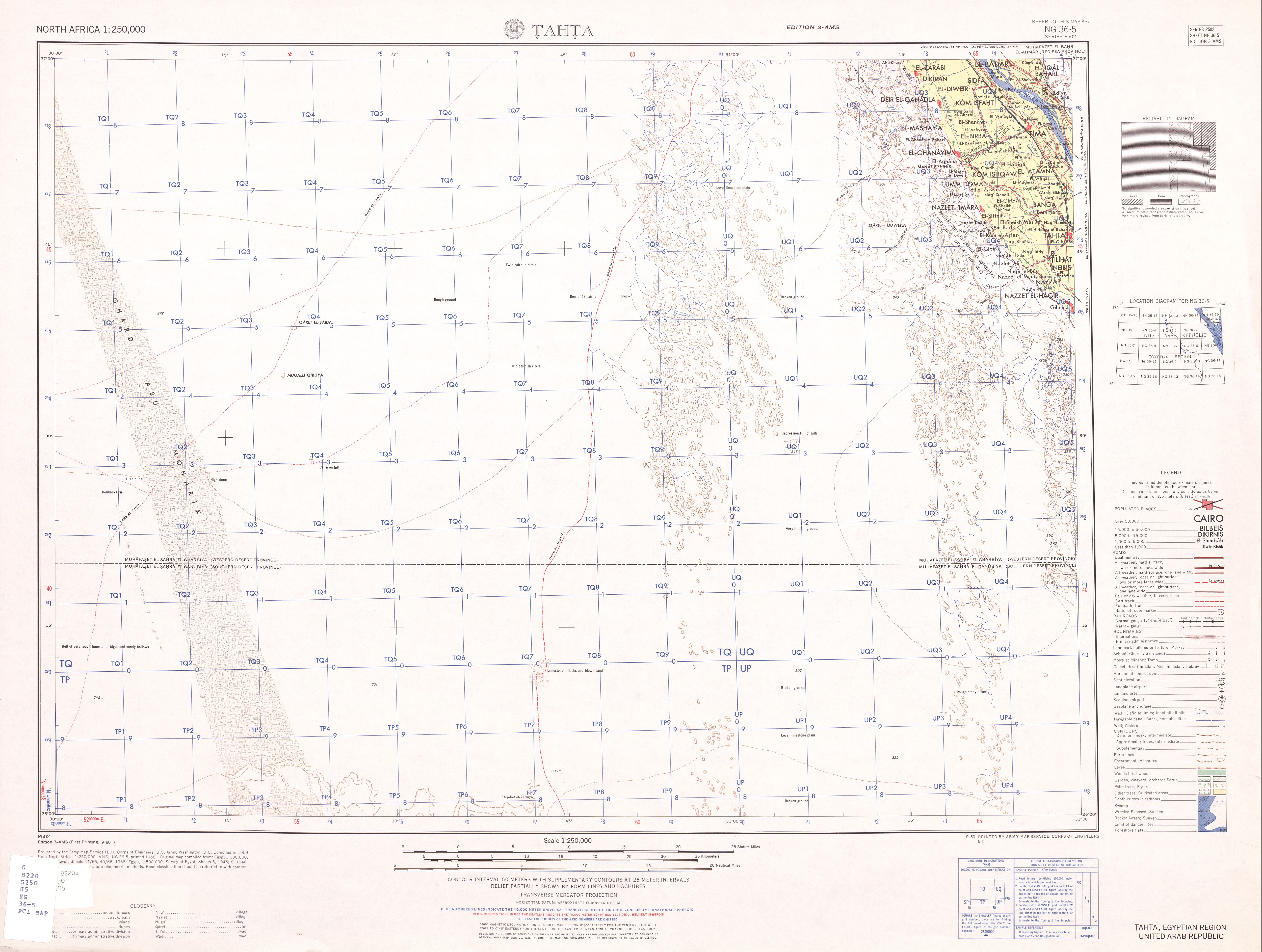
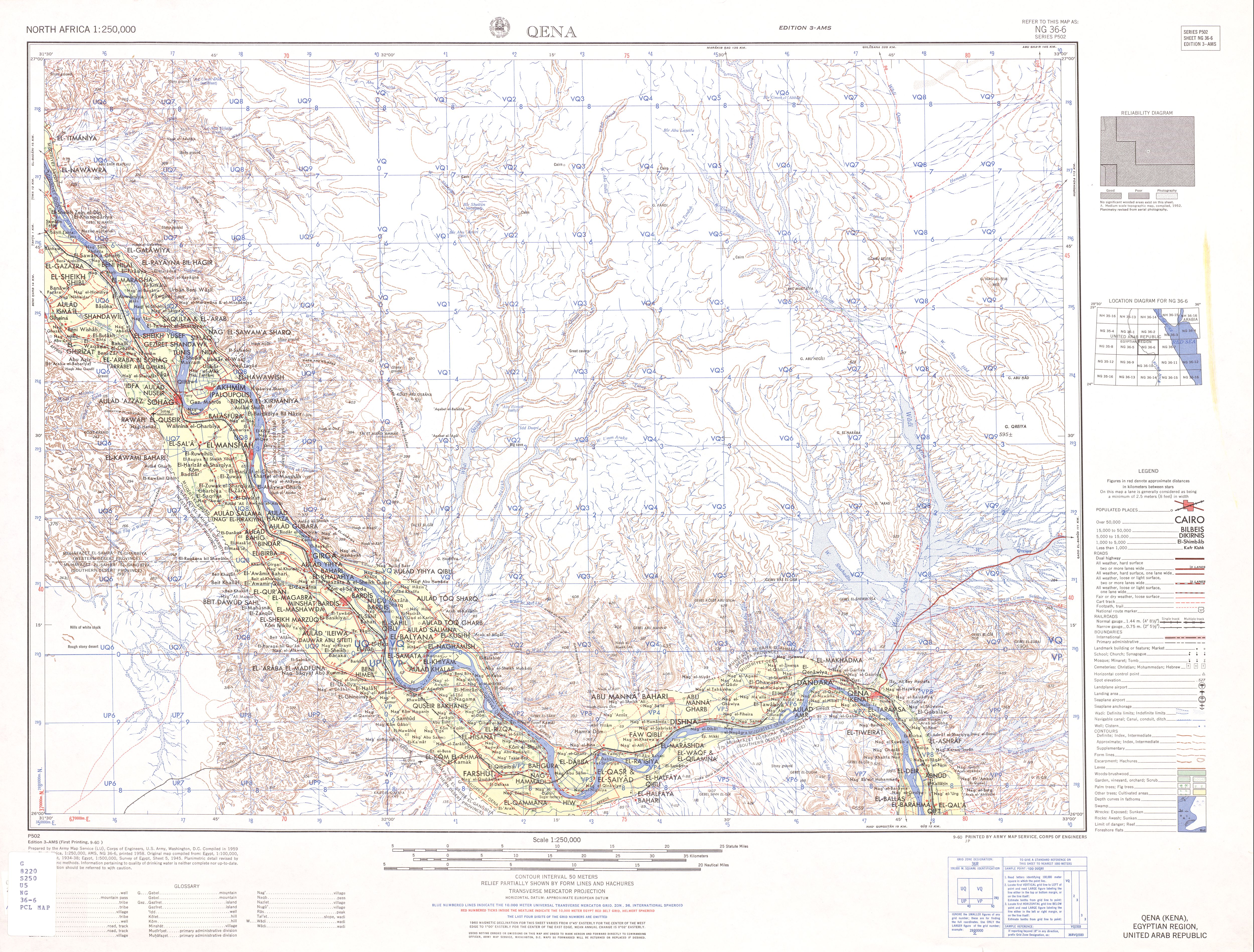
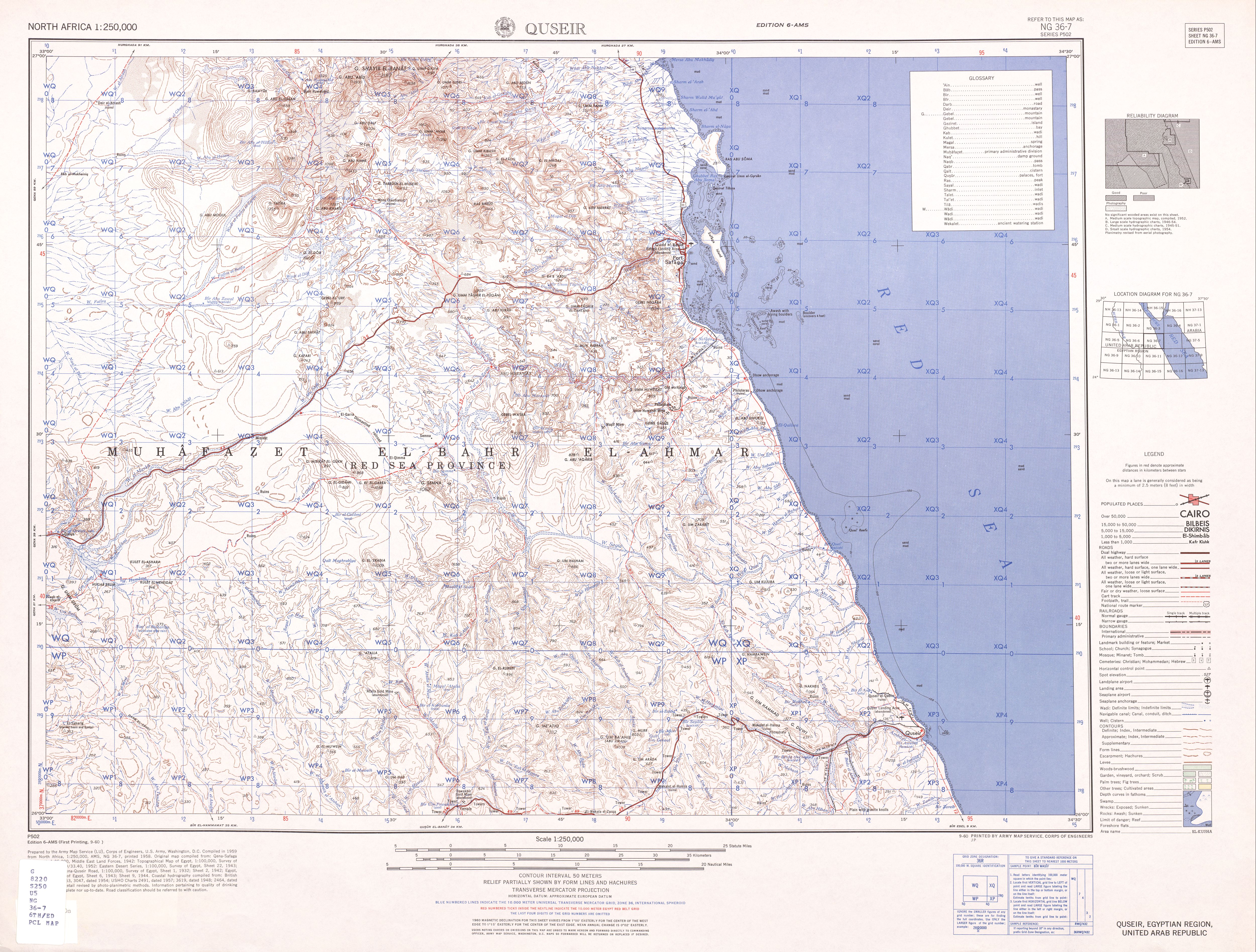
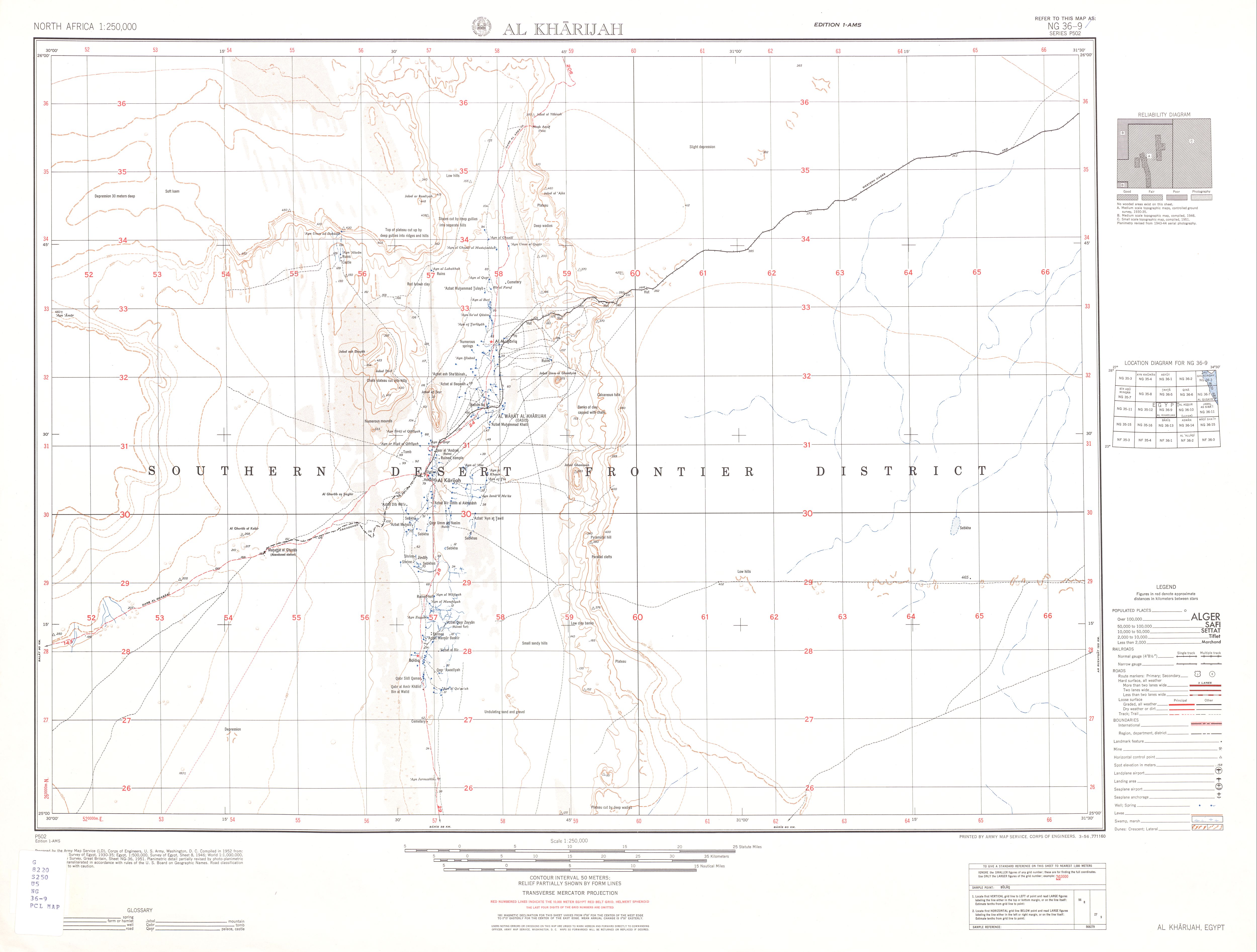
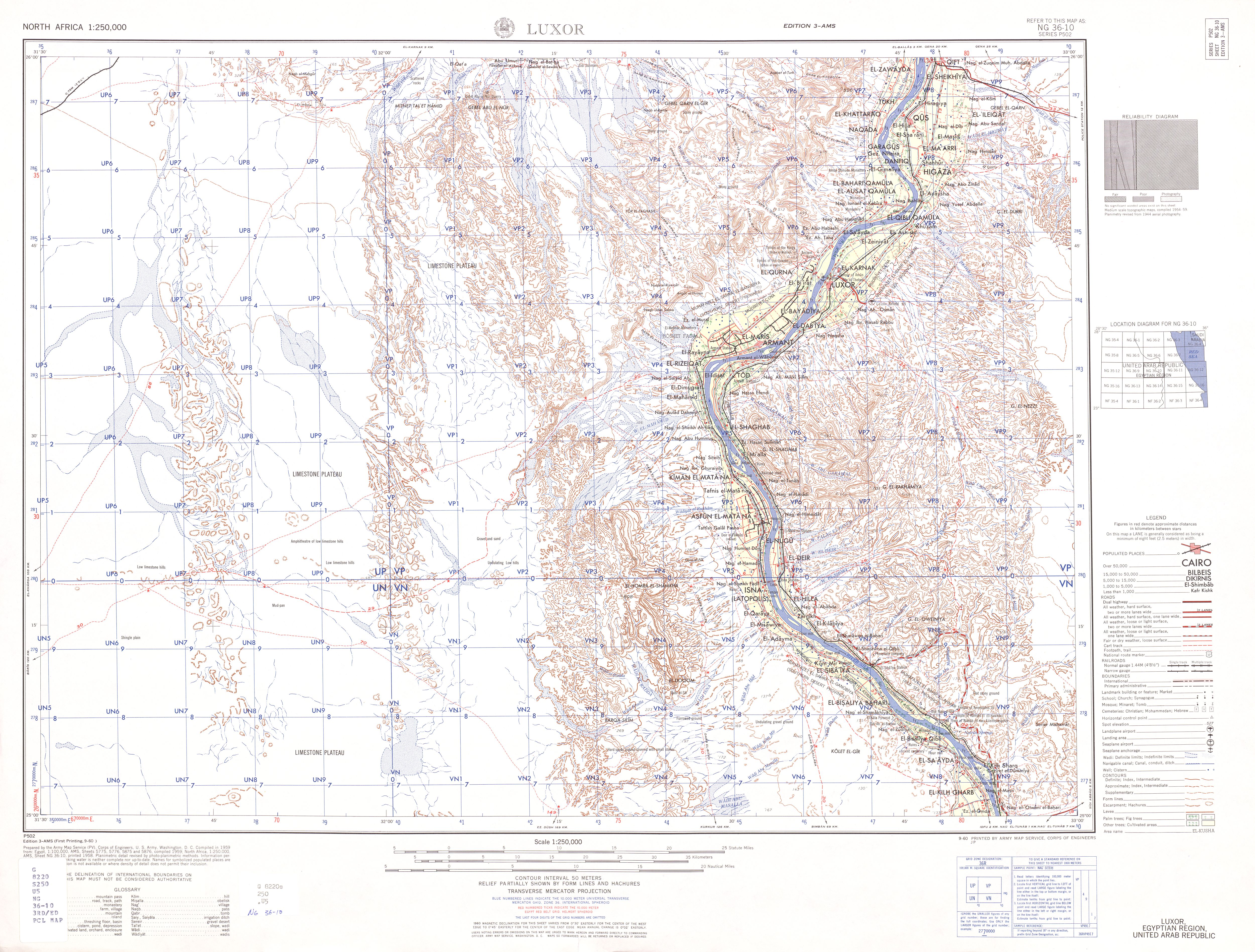
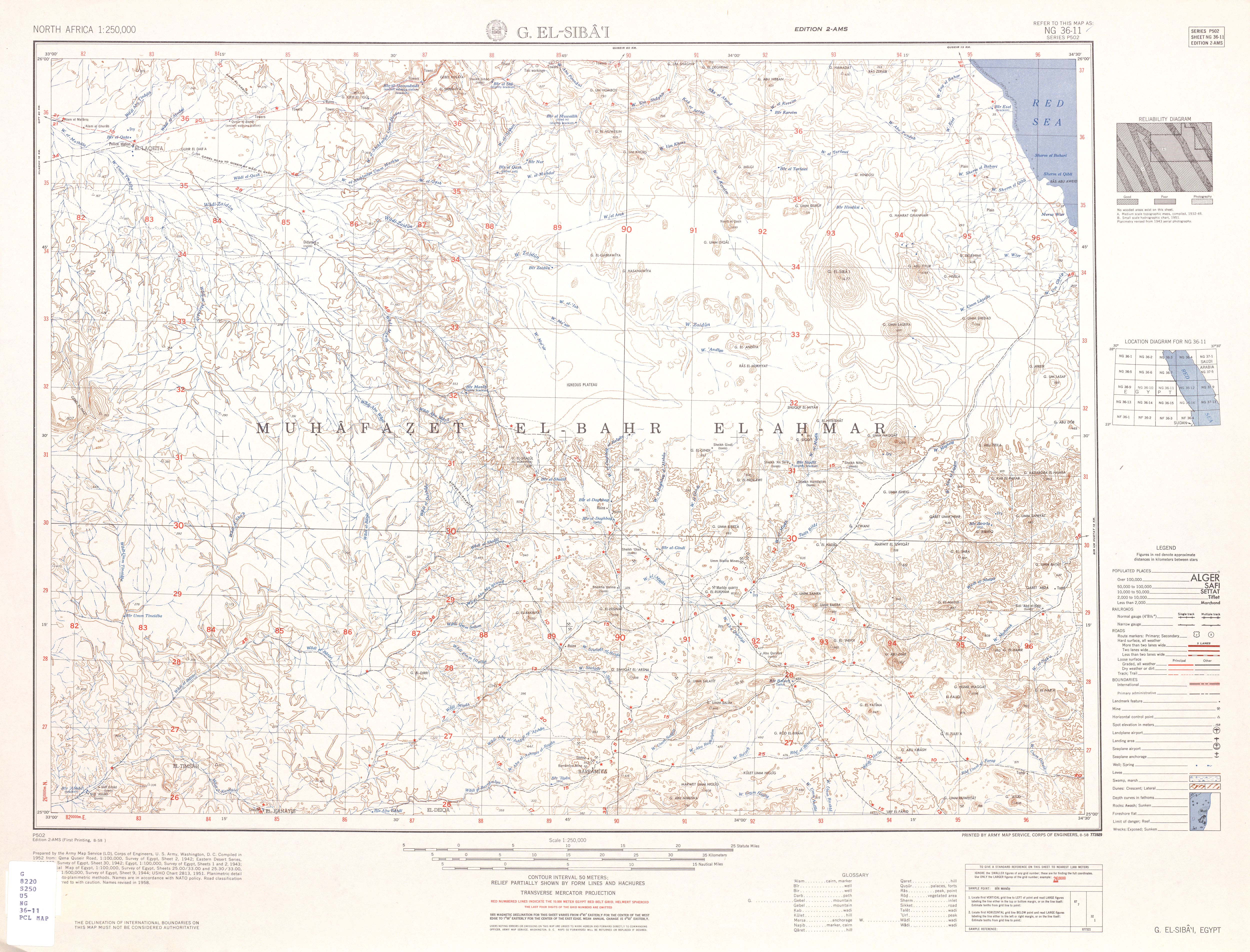
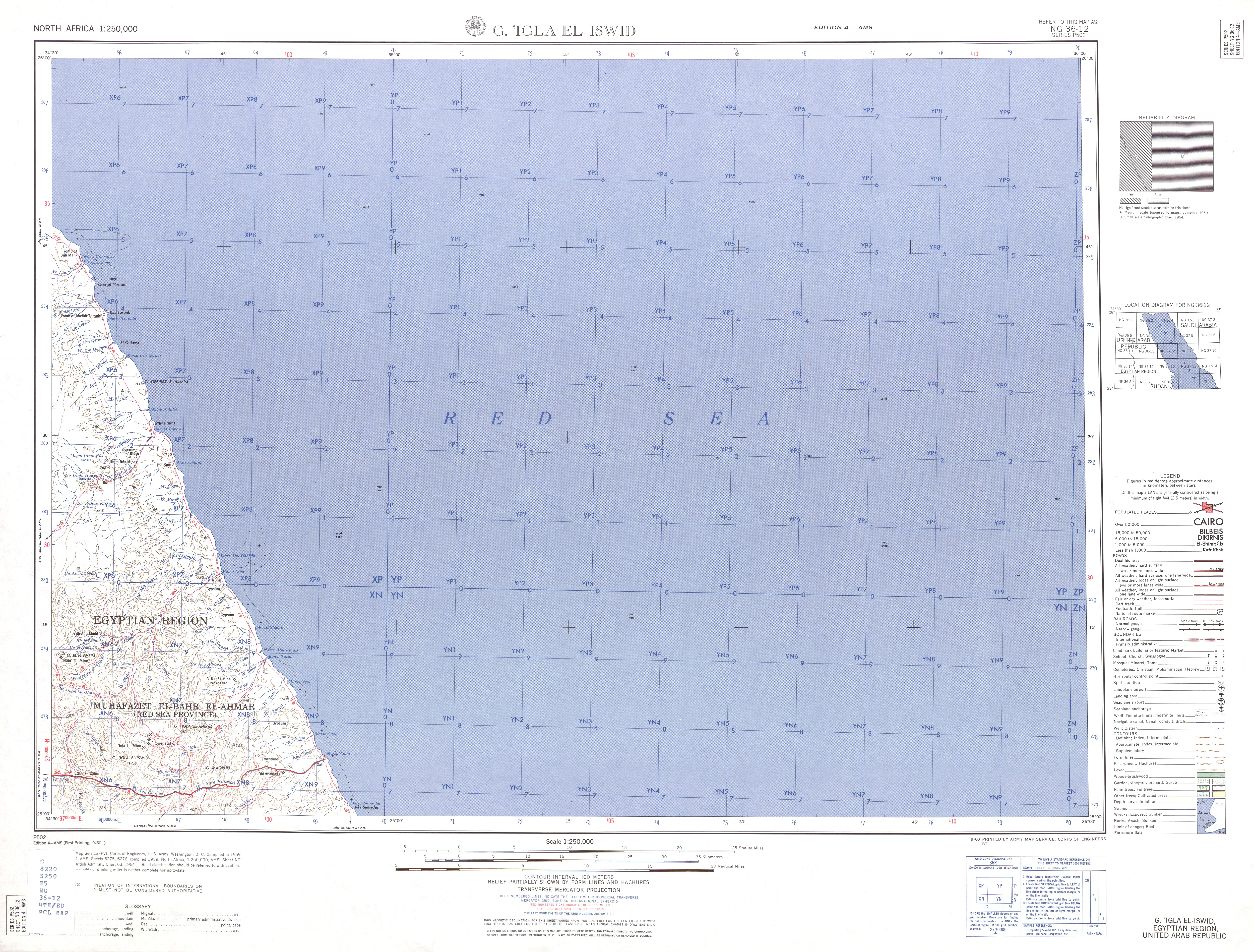
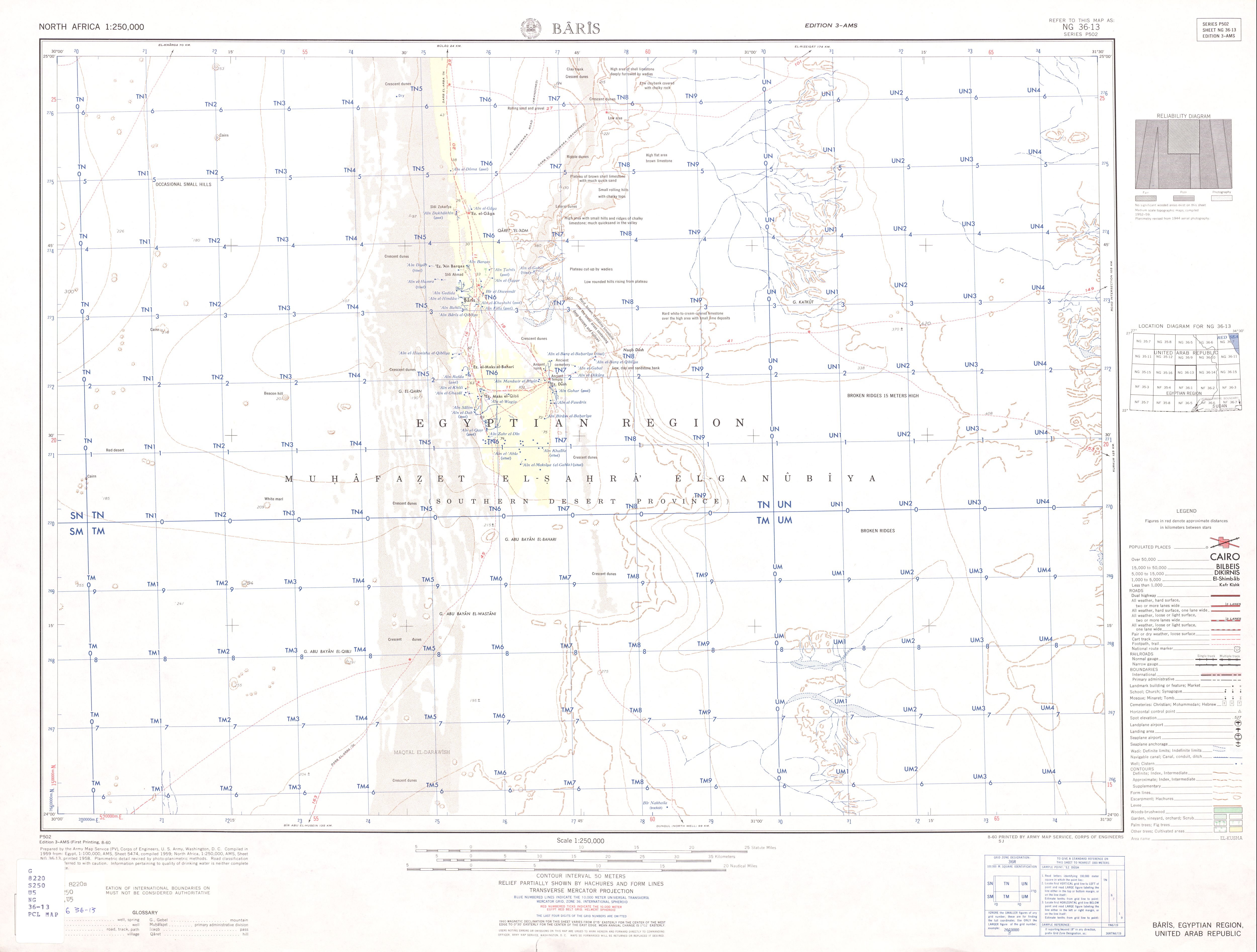
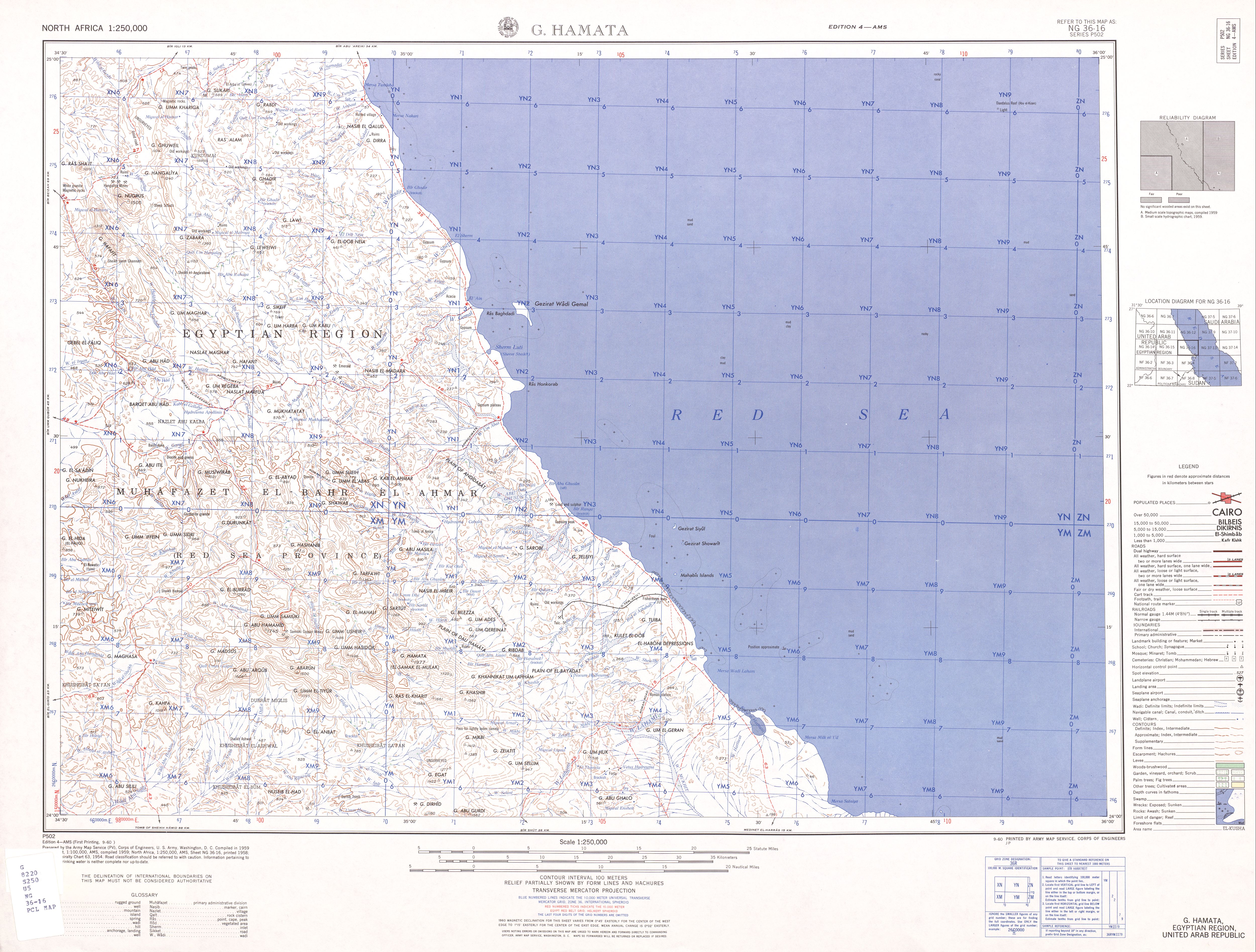
Following is the Shortcuts of the topographic Map of Egypt, Scale 1: 250,000 in JPG format, from North west to South East
NH-35
NH 35-1 Bardia (31° 00'N, 24° 00'E - 32° 04'N, 25° 30'E)
NH 35-2 Sidi Barani (31° 00'N, 25° 30'E - 32° 00'N, 27° 00'E)
NH 35-3 Matrouh (31° 00'N, 27° 00'E - 32° 00'N, 28° 30'E)
NH 35-4 Alexandriah (31° 00'N, 28° 30'E - 32° 00'N, 30° 00'E)
NH 35-5 Qasr Ash Shaqitah (30° 00'N, 24° 00'E - 31° 00'N, 25° 30'E)
NH 35-6 Bir El Khamsa (30° 00'N, 25° 30'E - 31° 00'N, 27° 00'E)
NH 35-7 Bir Khalda (30° 00'N, 27° 00'E - 31° 00'N, 28° 30'E)
NH 35-8 Burg El 'Arab (30° 00'N, 28° 30'E - 31° 00'N, 30° 00'E)
NH 35-9 Giarabub (29° 00'N, 24° 00'E - 30° 00'N, 25° 30'E)
NH 35-10 Siwa Oasis (29° 00'N, 25° 30'E - 30° 00'N, 27° 00'E)
NH 35-11 Qaret Badr El-Din (29° 00'N, 27° 00'E - 30° 00'N, 28° 30'E)
NH 35-12 Ghard El Rammak (29° 00'N, 28° 30'E - 30° 00'N, 30° 00'E)
NH 35-13 Great Sand Sea (28° 00'N, 24° 00'E - 29° 00'N, 25° 30'E)
NH 35-14 'Ain El 'Askar (28° 00'N, 25° 30'E - 29° 00'N, 27° 00'E)
NH 35-15 Shushet El-Khadim (28° 00'N, 27° 00'E - 29° 00'N, 29° 30'E)
NH 35-16 Bahariya Oasis (28° 00'N, 29° 30'E - 29° 00'N, 31° 00'E)
==================================================================
NH-36
NH 36-1 Al Mansurah (31° 00'N, 30° 00'E - 32° 00'N, 31° 30'E)
NH 36-2 Port Said (31° 00'N, 31° 30'E - 32° 00'N, 33° 00'E)
NH 36-3 El 'Arish (31° 00'N, 33° 00'E - 32° 00'N, 34° 30'E)
NH 36-5 Al Qahirah (30° 00'N, 30° 00'E - 31° 00'N, 31° 30'E)
NH 36-6 Ismailia (30° 00'N, 31° 30'E - 31° 00'N, 33° 00'E)
NH 36-7 El Qusaima (30° 00'N, 33° 30'E - 31° 00'N, 34° 30'E)
NH 36-9 Al Fayyum (29° 00'N, 30° 00'E - 30° 00'N, 31° 30'E)
NH 36-10 Suez (29° 00'N, 31° 30'E - 30° 00'N, 33° 00'E)
NH 36-11 Qal'at El Nakhl (29° 00'N, 33° 00'E - 30° 00'N, 34° 30'E)
NH 36-13 El-Minya (28° 00'N, 30° 00'E - 29° 00'N, 31° 30'E)
NH 36-14 G. Gharib (28° 00'N, 31° 30'E - 29° 00'N, 33° 00'E)
NH 36-15 Tor (28° 00'N, 33° 00'E - 29° 00'N, 34° 30'E)
==================================================================
NG-35
NG 35-4 'Ain Khoman (27° 00'N, 28° 30'E - 28° 00'N, 30° 00'E)
NG 35-7 Bir Abu Minqar (26° 00'N, 27° 00'E - 27° 00'N, 28° 30'E)
==================================================================
NG-36
NG 36-1 Assyut (27° 00'N, 30° 00'E - 28° 00'N, 31° 30'E)
NG 36-2 G. El-'Urf (27° 00'N, 31° 30'E - 28° 00'N, 33° 00'E)
NG 36-3 Hurghada (27° 00'N, 33° 00'E - 28° 00'N, 34° 30'E)
NG 36-5 Tahta (26° 00'N, 30° 00'E - 27° 00'N, 31° 30'E)
NG 36-6 Qena (26° 00'N, 31° 30'E - 27° 00'N, 33° 00'E)
NG 36-7 Quseir (26° 00'N, 33° 00'E - 27° 00'N, 34° 30'E)
NG 36-9 Al Kharijah (25° 00'N, 30° 00'E - 26° 00'N, 31° 30'E)
NG 36-10 Luxor (25° 00'N, 31° 30'E - 26° 00'N, 33° 00'E)
NG 36-11 G. El-Siba'i (25° 00'N, 33° 00'E - 26° 00'N, 34° 30'E)
NG 36-12 G. 'Igla El-Iswid (25° 00'N, 34° 30'E - 26° 00'N, 36° 00'E)
NG 36-13 Baris (24° 00'N, 30° 00'E - 25° 00'N, 31° 30'E)
NG 36-14 Aswan (24° 00'N, 31° 30'E - 25° 00'N, 33° 00'E)
NG 36-15 Wadi Sha'it (24° 00'N, 33° 00'E - 25° 00'N, 34° 30'E)
NG 36-16 G. Hamata (24° 00'N, 34° 30'E - 25° 00'N, 36° 00'E)
==================================================================
NF-36
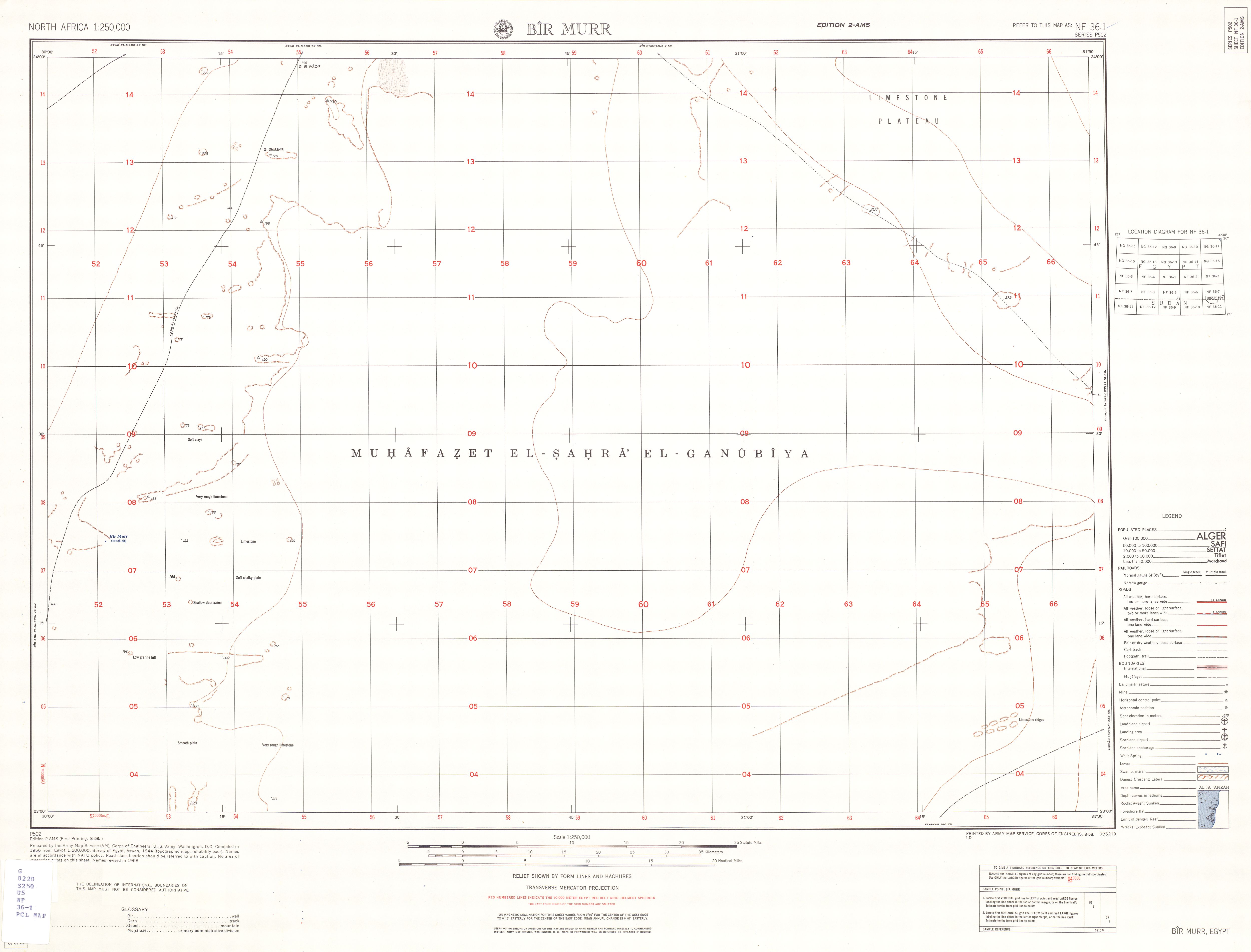
NF 36-1 Bir Murr (23° 00'N, 30° 00'E - 24° 00'N, 31° 30'E)
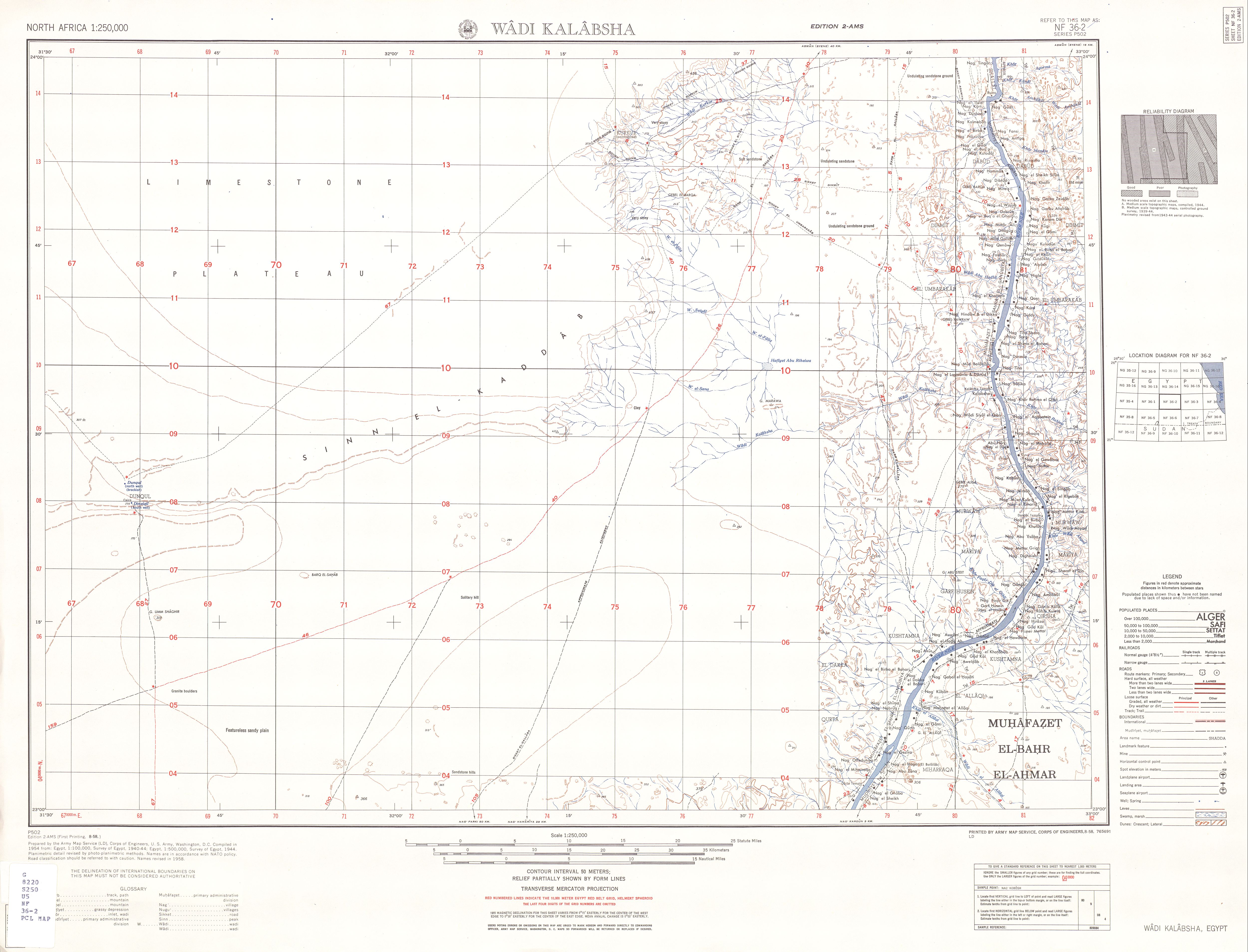
NF 36-2 Wadi Kalabsha (23° 00'N, 31° 30'E - 24° 00'N, 33° 00'E)
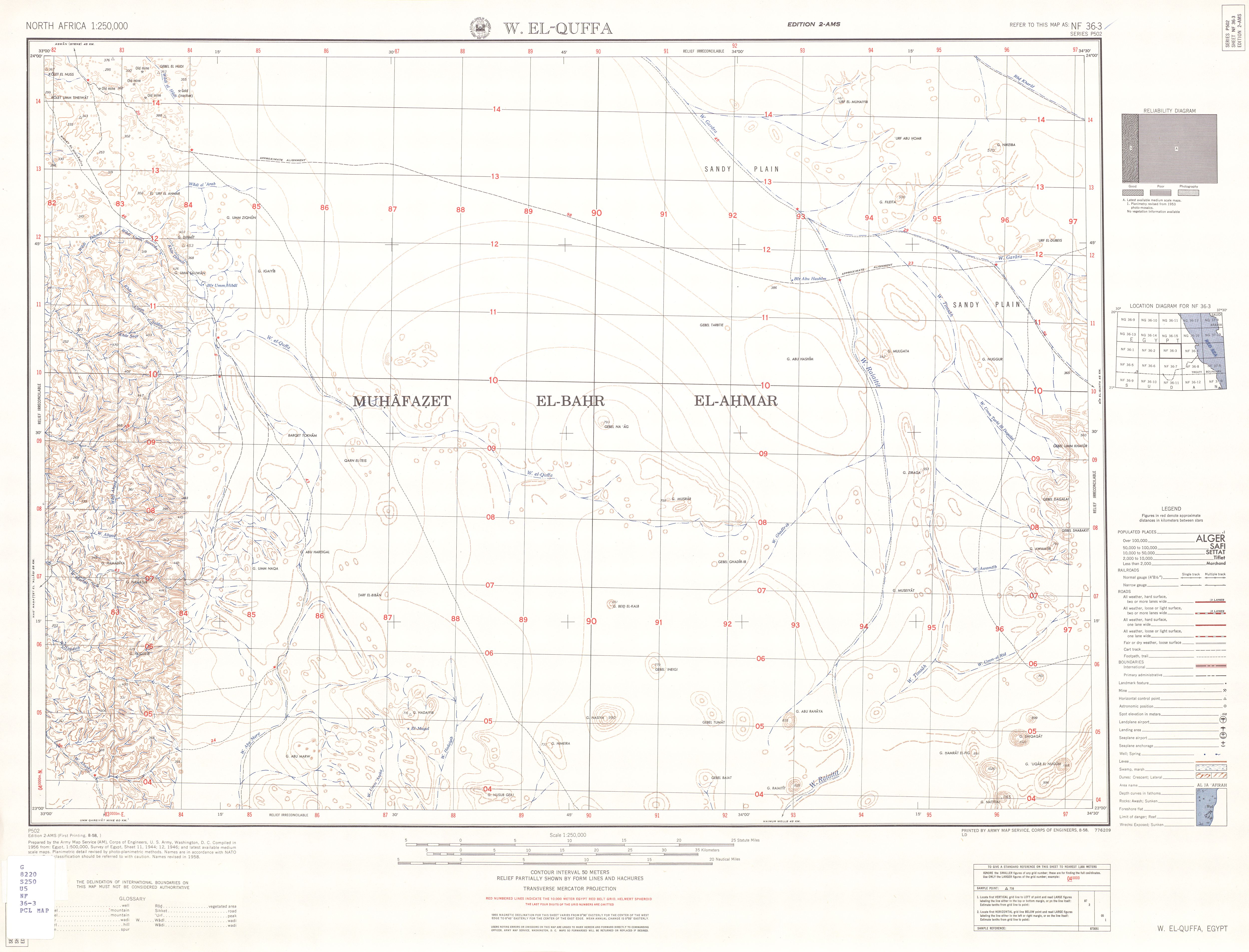
NF 36-3 W. El-Quffa (23° 00'N, 33° 00'E - 24° 00'N, 34° 30'E)
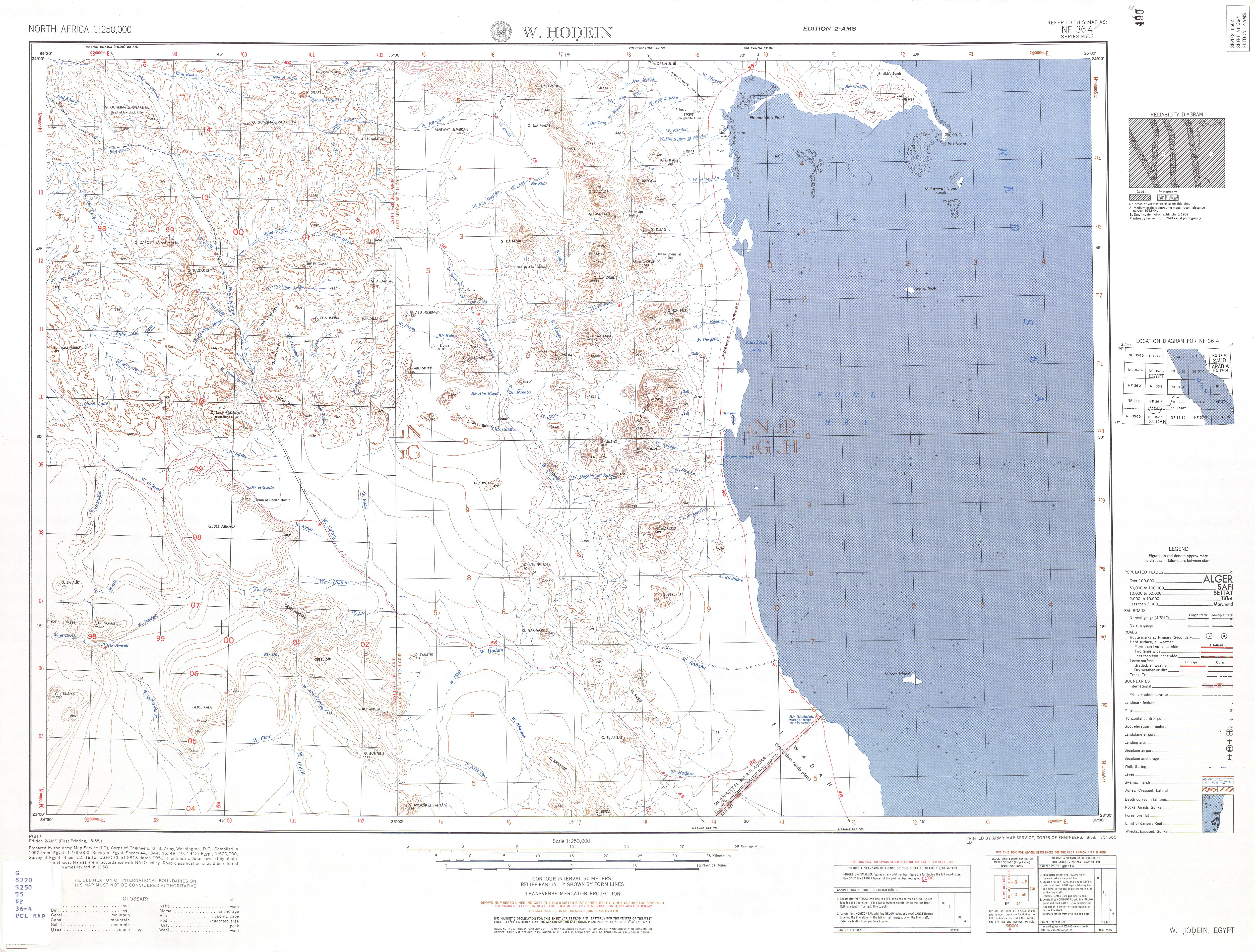
NF 36-4 W. Hodein (23° 00'N, 34° 30'E - 24° 00'N, 36° 00'E)
NF 36-5 Dubayrah (22° 00'N, 30° 00'E - 23° 00'N, 31° 30'E)
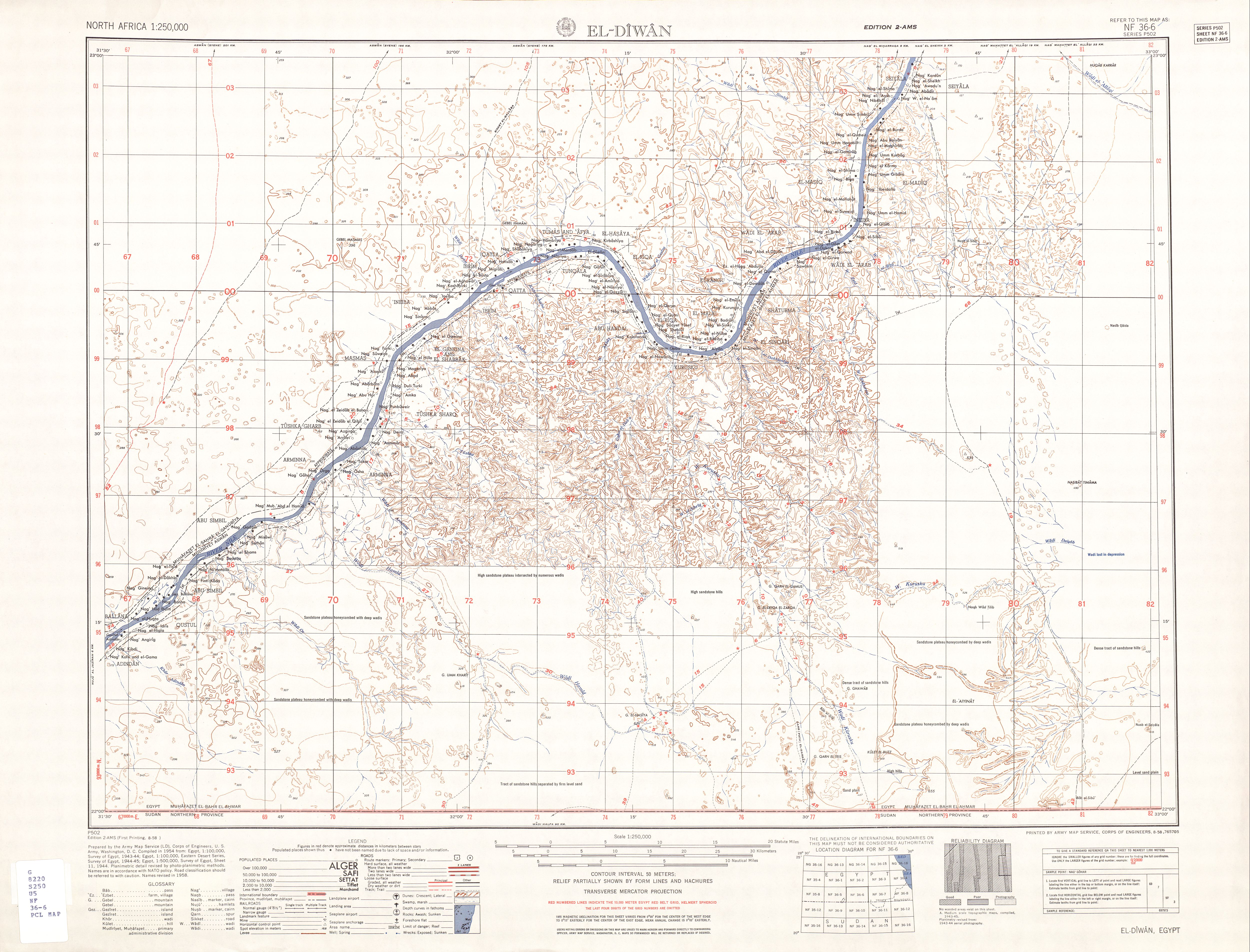
NF 36-6 El-Diwan (22° 00'N, 31° 30'E - 23° 00'N, 33° 00'E)
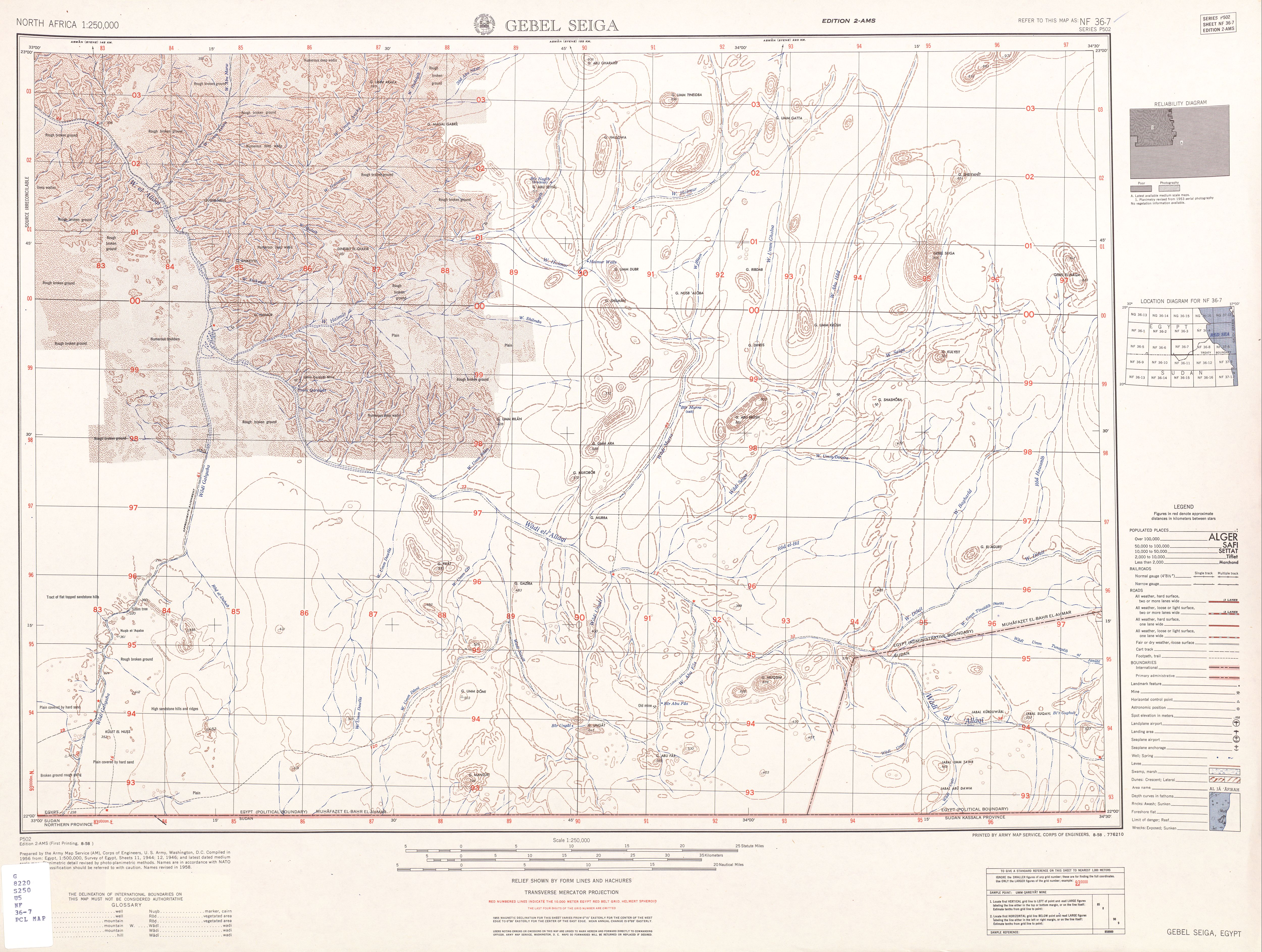
NF 36-7 Gebel Seiga (22° 00'N, 33° 00'E - 23° 00'N, 34° 30'E)
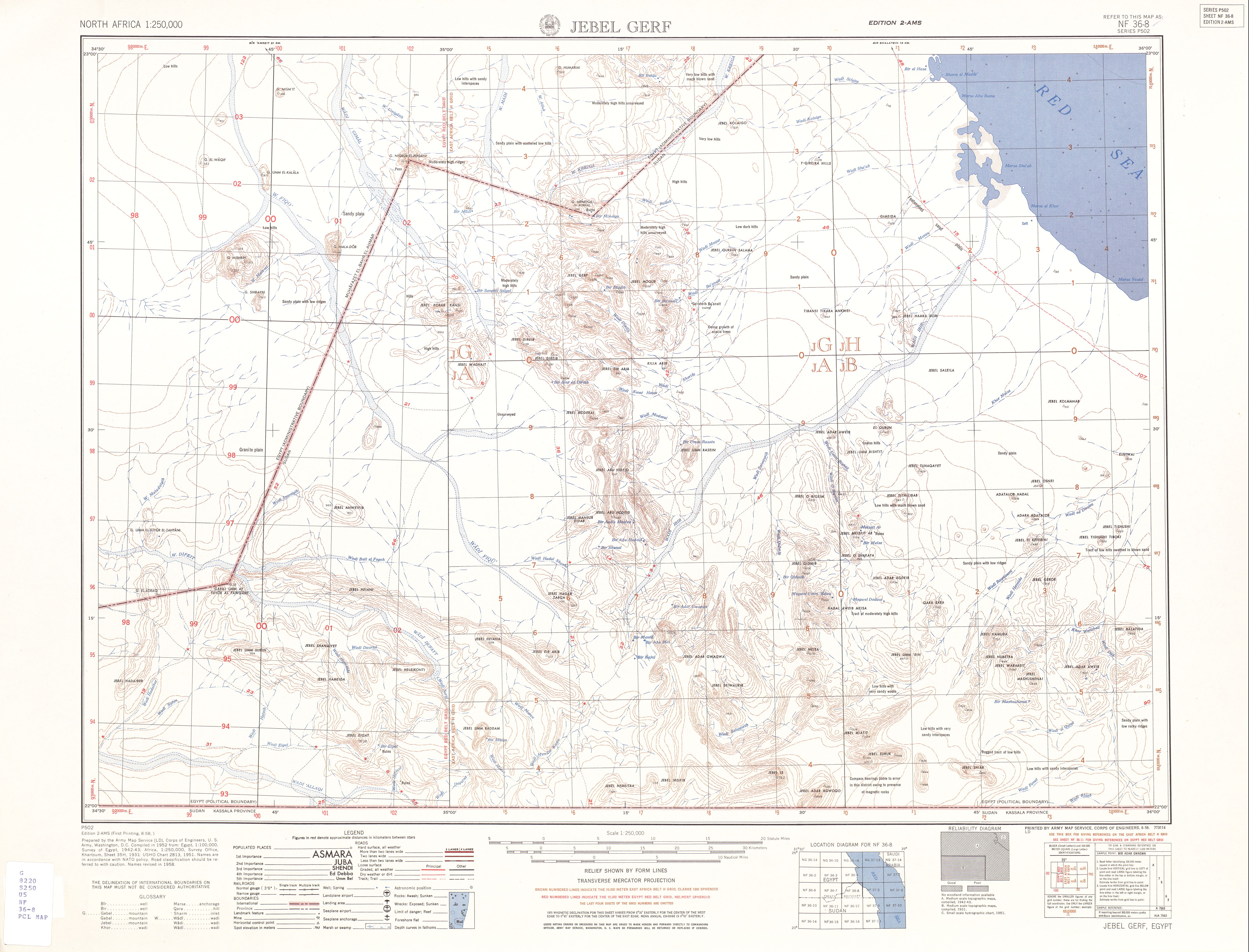
NF 36-8 Gebel Gerf (22° 00'N, 34° 30'E - 23° 00'N, 36° 00'E)
==================================================================
NF-37
NF 37-5 Halaib (22° 00'N, 36° 00'E - 23° 00'N, 37° 30'E)